New land cover data maps 37 solar farms in Ireland
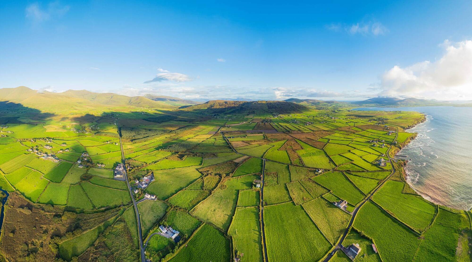
CORINE data shows that agriculture continued to be the dominant land cover type, at just over 67% of the national area, or 4.7 million hectares.
The camera does not lie, which is why the just published CORINE land cover data for 2024 offers the most recent definitive evidence of how the land of Ireland is changing.
The data comes from observations by the European Space Agency's suite of Sentinel satellites.
In 2024, for the first time, areas of land above five hectares which were converted to solar photovoltaic panel arrays, or “solar farms”, were mapped in CORINE (Co-ORdinated INformation on the Environment).
The data showed 37 instances of new solar farms. The largest of these was 151 hectares of agricultural land in Co Cork.
In total, 751 ha of land (0.01% of the national area) was converted to industrial or commercial units, a classification which incorporates solar PV arrays. Of this, 407 ha was converted from arable land and 344 ha from pastures.
It was part of 3.87% of all land cover in Ireland that changed between 2018 and 2024, equal to 273,933 ha.
But 96% of all the change was within the agriculture and forestry classes. This included the conversion of 77,218 ha of pasture to arable. Change from arable to pasture totalled 40,073 ha from 2018 to 2024.
Read More
The conversion of 4,389 ha into forestry was primarily from agricultural land, and resulted in a 0.48% increase in forestry in Ireland.
Within forestry, there was a 40% increase in the rate of forestry maturing from transitional forestry to mature forestry. There was also a 6.6% increase in the rate of clear-felling.
According to the Environmental Protection Agency’s analysis of the CORINE data, 39% of conversion to artificial surfaces was in the development of new construction sites, and 62% of the land newly converted to an artificial surface came from pasture.
CORINE data shows that agriculture continued to be the dominant land cover type, at just over 67% of the national area, or 4.7 million hectares.
The next biggest land cover types were wetlands at 14.7% (1.04 million hectares), forest and semi-natural areas at 13.54% (about 0.96 million hectares), artificial at 2.51% (about 178,407 hectares), and water, which covered 2.1% (148,400 hectares, which does not include sea and ocean).
Within agriculture, pasture is the most dominant land cover type, at 3.86 million ha (54.62% of the national area). The next biggest type is peatlands at 96,994 hectares (13.58%).
Land principally occupied by agriculture, but with significant areas of natural vegetation, was measured at 488,186 ha (6.9%).
According to the Environmental Protection Agency, the CORINE data is a key evidence source for environmental monitoring, biodiversity protection, and climate action.
The first CORINE dataset for Ireland was produced for 1990; the data for 2024 is the sixth instalment.