Warning that Ireland will experience more high-energy, impactful storms over winter
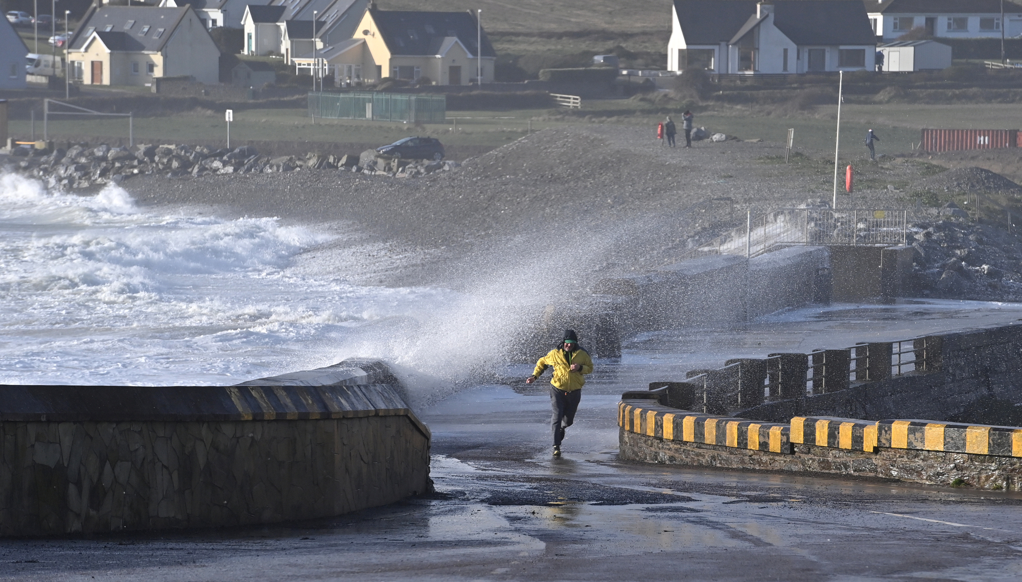
A man running from huge waves created by a storm in Garretstown, Co Cork, in 2025. File picture: Dan Linehan
Ireland is likely to see more high-energy, impactful storms over the coming winters due to climate change, according to a Met Éireann climatologist.
It comes as global ocean temperatures have reached their highest levels on record, with average sea surface temperatures rising to 21.2C.
The spike in ocean heat is being intensified by a fast-developing El Nino event, which is expected to be among the strongest in at least a century.
El Nino events are naturally occurring climate phenomena that raise global temperatures and alter weather patterns, with serious impacts around the world.
Read More
An ongoing El Nino has already contributed to low monsoon rainfall in India, major wildfires in Indonesia, and heightened fire concerns in Australia.
According to the latest climate reports, the planet has already warmed by 1.4C, which Met Éireann climatologist Paul Moore said means there is “more moisture in the air”.
“We can’t really say if there’s going to be more storms, just that the potential energy that storms will bring with warmer weather is higher,” he told the .
The UK Met Office has said an El Nino developing over the Pacific Ocean could lead to increased rainfall and storms over Britain this autumn as a result of the “unprecedented” weather pattern.
Mr Moore said Ireland is likely to see a “much more mobile regime” with a higher likelihood of low pressure dominating through October, November, and early winter.
He said that points to the potential for more storms and heavier rainfall this autumn, with the pressure pattern expected across western Europe increasing “the likelihood of wetter and windier conditions”.
Mr Moore said El Nino has amplified the subtropical jet stream in the Atlantic, making weather patterns “highly volatile”.
While it is not possible to predict how many storms will affect Ireland this winter or in the coming winters, he said rainfall is likely to be heavier than it was in the past.
“That obviously will test our drainage systems more because there is more rain falling,” Mr Moore said.
“Climate change is adding fuel to the storms because there is more moisture and more potential energy there."
He said the uncertainty lies in storm tracking, including whether a system moves north, south, or remains over Ireland.
The climatologist said that if a storm identical to one from 100 years ago were to happen today, it would produce more rainfall.
“A storm in the past, 100 years ago, would have dropped a certain amount of rainfall and had a certain depth,” Mr Moore said.
“But because our patterns are so volatile, you cannot really have that exact same storm because it is so different every time.
“But if we had the exact same storm again, 100 years later in a warmer world, it would drop more rainfall, it would be deeper, with a lower pressure system, and in some instances bring stronger winds as well,” he added.
Asked how Ireland can prepare for higher-energy storms, Mr Moore said communities will have to adapt.
“Adaptation will be highly difficult because conditions will keep changing due to global warming, and we will have to continue adapting until we reach net zero,” he added.
Meanwhile, Oak Park in Co Carlow recorded 61 days of partial drought this year, just short of the all-Ireland record of 62 days.
Check out the Irish Examiner's WEATHER CENTRE for regularly updated short and long range forecasts wherever you are.
CONNECT WITH US TODAY



Be the first to know the latest news and updates