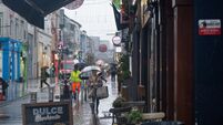
Weather warnings lifted as end of cold snap in sight

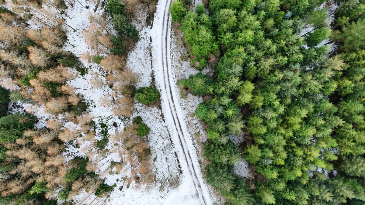
SNOW covered fields at Kilbehenny, at the foothills of the Galtee Mountains in North Cork. . Picture: Larry Cummins
Freezing temperatures were again recorded overnight as Roscommon was the coldest part of the country with the mercury plummeting to -6.6C in Mount Dillion.
The cold snap continues to impact much of the country as ice, snow and dangerous travel conditions persist, however, milder conditions are on the way.
Other sub-zero temperatures recorded last night included -6.3C in Ballyhaise, Co Cavan, and -6.3C in Dunsany/Grange, Co Meath.
A status orange low temperature and ice warning for 15 counties elapsed at 8am, while a nationwide status yellow low temperature and ice warning ended at midday.
Met Éireann has said most of the country on Friday morning will see "widespread frost and ice or black ice".
Temperatures will get above freezing, with the forecaster saying highs of 1C to 5C are expected generally. However, it will not be as cold later in the southwest as cloud and rain in these areas will slowly move northeast through the day, turning to sleet for a time with snow on high ground.
Tonight will not be as cold as previous nights with lowest temperatures of 0C to 4C expected.
Met Éireann's Head of Forecasting Eoin Sherlock said the end of the yellow warning should hopefully see the "end of the spell of weather we had in the last week or so".
He said while the country should see temperatures "creeping up a little bit" between 2C to 6C on the coastal fringes, we "probably won't see much today".
"[It will be] quite cold still in parts of the north and northeast and that's because the [Arctic] front will take its time pushing up," Mr Sherlock told RTÉ's Morning Ireland on Friday.
Friday night will still "be around freezing" before temperatures go up on Saturday by "a little bit".
"So a thaw will start to develop there, particularly in parts of the south and southwest that have the highest snow amounts," Mr Sherlock said.
"It's really Sunday before we see the thaw kick in. We expected highs of between 7C to 10C, maybe 11C," he added.
In an update on Friday, An Post said Co Kilkenny and Boherbue in north-west Cork remain "by far the worst affected areas with little improvement in snow and ice accumulation."
"As conditions slowly start to improve, An Post is attempting more letter and parcel deliveries wherever it is safe to do so and will make special attempts to deliver on Saturday in the affected areas, wherever resourcing and conditions allow," a spokesperson said.
Almost all Post Offices are open, though some for reduced hours in some areas. All offices are due to open on Saturday morning.
Black ice was reported in the Mitchelstown area, as Cork County Council are urging all road users to "exercise extreme care" as rain and melting snow will lead to treacherous driving conditions over the coming days.
"Drivers are asked to slow down even in places that have thawed as there may be significant damage to road surfaces across the county," a spokesperson said.
Cork County Council added that additional resources are being deployed to clear routes on Friday and across the weekend.
"The priority is providing access to isolated communities in the worst affected areas and ensuring good access to schools before Monday," the spokesperson said.
Meanwhile, "significant progress" has been made in the Mallow, Charleville and Kanturk areas.
Crews were in operation in the Millstreet area as well, including Holymount, Coolinarna, Ballinagree, Stuake, Ahadallane to Waterloo, Meenachoney and Aghabullogue on Thursday.
Cork County Council said the focus on Friday will be in Baurahairin, Knocknakilla, Caherbarnagh, Knocknagowan, Mullenroe and Curragh.
"Crews have also been deployed in the Taur area in recent days, one lane has been cleared and treated however driving conditions remain challenging," the spokesperson added.
Figures highlighting shopping habits over the cold snap saw the demand for milk butter and eggs go up by 147%, especially in counties under orange warnings in Munster and Leinster.
On Sunday, chill product sales soared by 384%. Fuel sales also spiked, with fire logs and starters up 61% and briquettes up 80.4%.
According to SuperValu, over the weekend, their stores across the country sold an additional 100,000 loaves of bread.
Met Eíreann has said temperatures are set to become "milder" through the weekend, before becoming "dull" with rain and drizzle expected at times early next week.
Saturday will start cloudy with scattered outbreaks of light rain and drizzle, with highest temperatures of between 3C to 7C expected.
A good amount of dry weather is expected on Saturday night, although some drizzle, mist and fog are also forecasted. Temperatures are set to range between 1C to 5C.
Sunday then will see more rain and drizzle in the west of the country, with dry weather dominating the east. Afternoon temperatures of 6C to 10C are expected.
More rain is expected later on Sunday night, with temperatures sitting between 7C to 10C.
Heading into next week, temperatures will rise significantly, with highs of 14C predicted at this stage.

Check out the Irish Examiner's WEATHER CENTRE for regularly updated short and long range forecasts wherever you are.
CONNECT WITH US TODAY



Be the first to know the latest news and updates