What happens when Land Registry maps and farm boundaries don’t match?
If the Land Registry is satisfied a mistake has been made and the error can be corrected without causing loss to another registered owner, it has the power to rectify the register after giving notice to affected parties.
Dear Reader,
Disputes of this nature are not uncommon in a farming context, particularly where land has been used and managed in a particular way for long periods without issue. While registration of land in the Land Registry provides certainty of title, it is important to understand the limitations of Land Registry maps.
The Land Registry map is intended to identify land, not to define boundaries with precision. The description shown on the map is not conclusive as to the exact line of a boundary or the extent of the land.
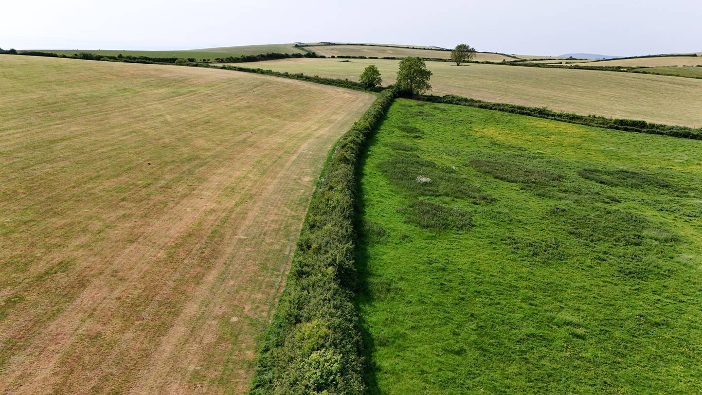
This is expressly acknowledged in Irish property law, and it means apparent overlaps or discrepancies can and do arise, particularly in rural areas where natural features such as drains, ditches, hedgerows or streams have historically acted as boundary markers.
Your first step should be to avoid any escalation or physical alteration of the land until the issue has been properly examined. Interfering with the channel could give rise to further disputes or potential liability if damage occurs. You should instruct a solicitor with experience in property and agricultural matters to review your title documentation.
Your solicitor will examine the folio or folios relating to your land and obtain copies of the original instruments of transfer or conveyance, including any maps lodged at the time of registration. These documents are critical, as the Land Registry map is derived from the maps originally lodged and may not reflect historical usage on the ground.
In parallel, it is advisable to engage a suitably qualified engineer or land surveyor to carry out a measured survey. The engineer will assess the physical features on the ground, including the drainage channel, compare them with the title maps, and prepare a report identifying whether there is a discrepancy and, if so, the likely cause.
Where an error is suspected, your solicitor can make a formal application to the Land Registry requesting the matter be investigated.
If the Land Registry is satisfied a mistake has been made and the error can be corrected without causing loss to another registered owner, it has the power to rectify the register after giving notice to affected parties. Where rectification would cause loss, compensation may be payable, but each case is assessed on its own facts.

If the Land Registry concludes the registration accurately reflects the deeds as lodged, alternative legal options may need to be considered. Depending on the length and nature of your use of the channel, an application based on long possession may be available.
In other situations, matters can be resolved by agreement, for example, by way of a deed of rectification or a transfer of a small portion of land, often accompanied by revised maps.
Court proceedings are generally a last resort and are usually only necessary where agreement cannot be reached and the issue is significant. Early professional advice can often prevent disputes of this kind from becoming entrenched and costly.
Given the importance of drainage and land management to the operation of a farm, it is essential that issues of this nature are addressed promptly and properly.
Email: info@walshandpartners.ie
- While every effort is taken to ensure the accuracy of the information contained in this article, Karen Walsh does not accept responsibility for errors or omissions howsoever arising. Readers should seek legal advice in relation to their particular circumstances at the earliest opportunity.