Cork traffic and weather: Thunderstorm and heavy rain warning coming into force
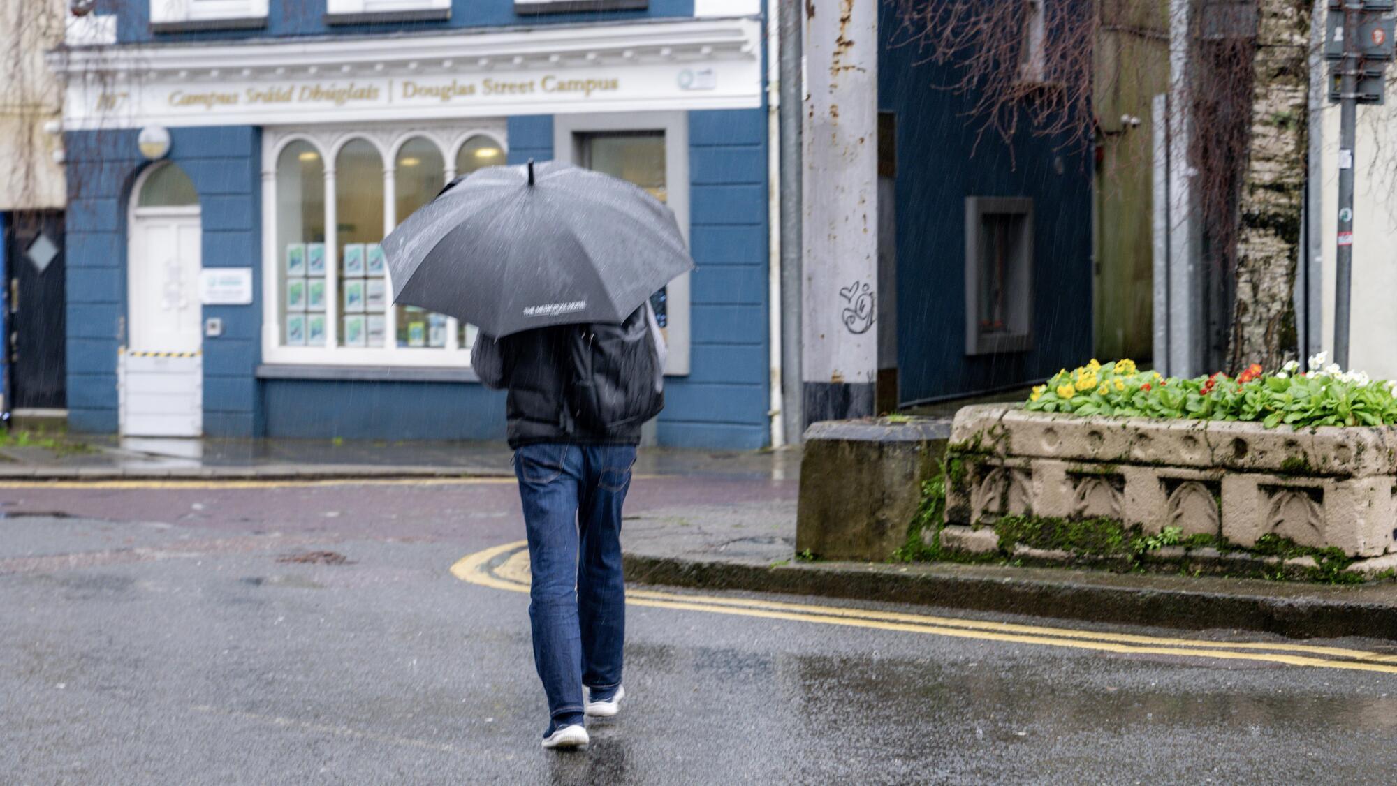
The national forecaster has warned of spells of heavy rain with the possibility of thunderstorms. Picture: Chani Anderson.
Cork is among six counties placed under a status yellow rain warning, with spells of heavy rain and thunderstorms expected.
Met Éireann issued a status yellow rain warning for the counties of Cork, Carlow, Kilkenny, Wexford, Wicklow, and Waterford on Wednesday, which will come into effect from 12pm on Thursday.
The weather warning will remain in place until 3am on Friday morning.
The national forecaster has warned of spells of heavy rain with the possibility of thunderstorms, which may lead to localised flooding and difficult travelling conditions.
Traffic is relatively quiet this morning in Cork, with traffic flowing as normal on major roadways including the N40, M28, and at the Dunkettle Interchange.
However, as Electric Picnic gets underway today, gardaí have advised that large volumes of traffic are expected on the roads heading toward the Stradbally area of county Laois.
Festival-goers are strongly encouraged to make their way to the site by public transport where possible, with Portlaoise and Portarlington being the closest train stations.
Gardaí said there will also be a shuttle bus service between both stations and the festival.
An Garda Síóchána is asking motorists to plan their routes in advance and to follow official signage on key junctions and routes, and the directions of garda members.
Read More
Met Éireann said it will be dry for most of this morning, with some areas experiencing mist and fog.
Outbreaks of rain in the south will gradually extend northwards through the early afternoon, becoming heavy at times.
Highest temperatures will reach between 18C and to 21C, with mostly light northeast breezes.
Outbreaks of rain will continue for a time early this evening, with some heavy falls and thunder possible.
The rain will ease and clear eastwards through the night, with some clear spells and patches of mist and fog following.
Lowest temperatures will reach between 14C and 16C in light northwesterly or variable breezes.
Mist and fog is expected to clear on Friday morning, leaving a bright day with sunny spells and scattered showers.
Highest temperatures will reach between 19C and to 22C, with light, occasionally moderate, northwesterly breezes.
The forecaster said Friday night will be dry at first, before outbreaks of rain in the southwest will gradually extend over much of the country.
Lowest temperatures will reach between 12C and 16C with mostly light variable breezes and some patches of mist and fog.
Saturday will see a wet start for most with rain continuing across the region.
It will gradually clear eastwards through the morning and early afternoon with drier and brighter weather following.
Highest temperatures will reach between 16C and to 21C, with light northerly breezes becoming westerly.
Saturday night will be mostly dry with clear spells, although outbreaks of rain and showers will move in from the west towards morning.
Lowest temperatures will reach between 10C and 14C in light southerly or variable breezes with areas of mist and fog forming.
Widespread outbreaks of rain, turning heavy at times, with a chance of thunderstorms, will be expected on Sunday.
Cooler conditions than previous days are predicted, with highest temperatures of 16C to 19C in a light to moderate southerly breeze.
Check out the Irish Examiner's WEATHER CENTRE for regularly updated short and long range forecasts wherever you are.
CONNECT WITH US TODAY



Be the first to know the latest news and updates