Sat-navs and maps lead truck drivers astray in Kerry
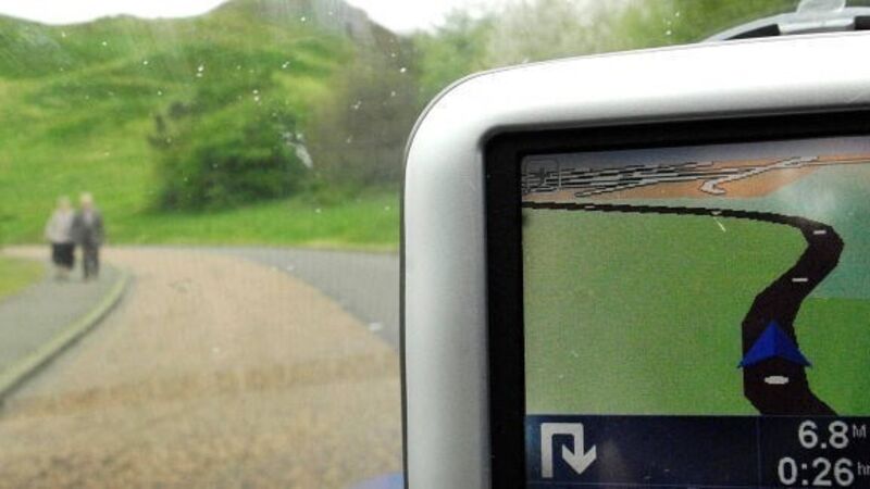
Drivers of heavy goods vehicles are “going astray” when maps and satellite navigational systems direct them through tunnels and bog roads in south Kerry.

Sat-navs and maps lead truck drivers astray in Kerry

A recent meeting of Kerry County Council heard that the N71 between Killarney and Kenmare — a narrow and winding road with a tunnel — should give way on maps and satellite navigation systems to the regional R569 via Kilgarvan — a wider and straighter road of superior surface, and more suitable for HGVs.

Both the Ordnance Survey of Ireland and satellite navigational companies are now being asked to take account of the anomaly on the N71 as a matter of urgency.

Already a subscriber? Sign in

You have reached your article limit.

Unlimited access. Half the price.

Annual €130 €65

Best value

Monthly €12€6 / month

More in this section

Lunchtime News

Newsletter

Keep up with stories of the day with our lunchtime news wrap and important breaking news alerts.

Cookie Policy Privacy Policy Brand Safety FAQ Help Contact Us Terms and Conditions

© Examiner Echo Group Limited