MAPS: Revised Cork road plan receives ‘positive feedback’ from concerned residents
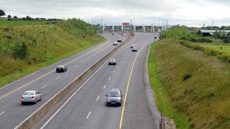
It is hoped that revised plans for a €180m road between Cork and Ringaskiddy will ease the fears of some residents’ associations who expressed major concerns with the initial blueprint when it was launched in October.

MAPS: Revised Cork road plan receives ‘positive feedback’ from concerned residents

The initial plan for the 12.5km road from the Bloomfield interchange to Ringaskiddy proposed to close a slip-road connection into Mount Oval and an exit from Maryborough Hill.

Bob O’Shea, project manager with the National Roads Office, said it had been decided to maintain the Mount Oval connection and provide a new junction connecting to Maryborough Hill, which will be just a few hundred yards from the existing one.

Already a subscriber? Sign in

You have reached your article limit.

Unlimited access. Half the price.

Annual €130 €65

Best value

Monthly €12€6 / month

More in this section

Lunchtime News

Newsletter

Keep up with stories of the day with our lunchtime news wrap and important breaking news alerts.

Cookie Policy Privacy Policy Brand Safety FAQ Help Contact Us Terms and Conditions

© Examiner Echo Group Limited