Cork traffic and weather: Met Éireann predicts mixed conditions with heavy spells of rain
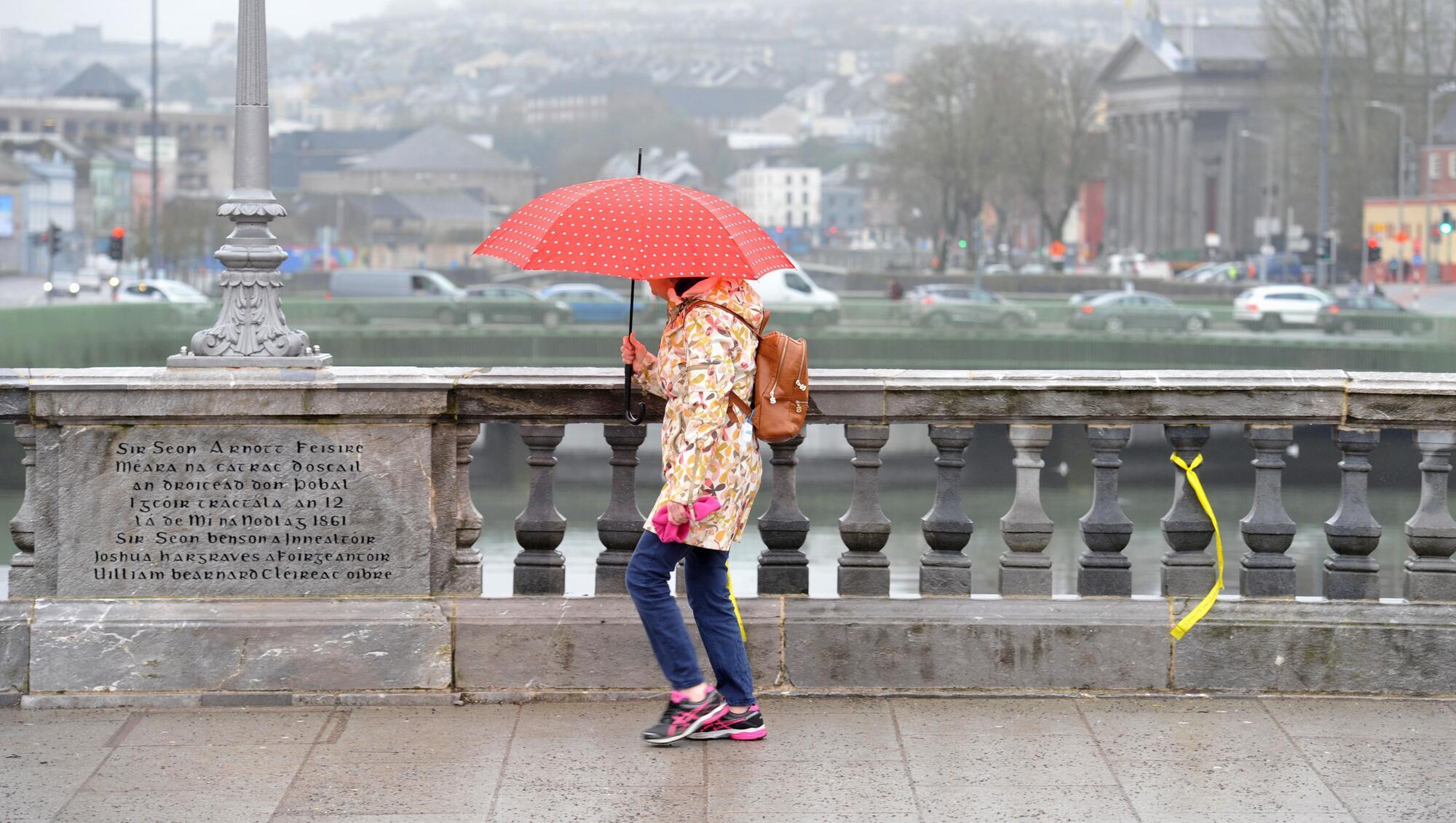
Met Éireann has predicted another dry and bright morning, with isolated showers expected this afternoon. Picture: Larry Cummins
Met Éireann has predicted another dry and bright morning, with isolated showers expected on Tuesday afternoon.
The national forecaster said Tuesday will start off mainly dry with sunny spells before isolated showers bring cloudier conditions in the afternoon.
Rain will start moving in from the southwest on Tuesday evening, with highest temperatures reaching between 16C and 19C in light to moderate southwest winds.
It will be wet overnight with widespread outbreaks of rain, turning heavy at times, however, the rain will ease and become patchier towards morning.
Lowest temperatures of 13C to 16C are expected with light south to southeast winds, increasing moderate towards morning and becoming fresher along the southern coastline.
Wednesday morning will be mostly cloudy with patchy rain and drizzle, as well as some mist and hill fog.
There will be occasional bright breaks, with highest temperatures of 17C to 20C in mostly moderate southwest winds.
Wednesday night will see well scattered showers and clear spells with moderate southwesterly breezes.
Met Éireann said it will be a mild night with lowest temperatures of 13C to 16C.
Read More
Traffic is building across some of the major city links, as of just after 8am.
There is some queueing in areas including on the N40 at junction four East and junction five East.
Transport Infrastructure Ireland has advised that while there are no tunnel closures scheduled at the Jack Lynch Tunnel this week, motorists should be aware of planned closures on the motorway network.
Thursday will be mainly dry to start with sunny spells and well scattered showers.
Outbreaks of rain will move in from the west through the afternoon, likely extending to most areas by the evening.
Highest temperatures of 16C to 21C are expected with moderate to fresh west to southwest winds, being strong at times near the coast.
Thursday night will see widespread outbreaks of rain, becoming heavy at times.
The rain will be likely confined mostly to the south and southeast towards morning.
Lowest temperatures of 12C to 16C are predicted with moderate southwesterly winds, being fresher along southern coasts.
Friday will be a drier day for most with sunny spells and scattered showers, mainly affecting the north and northwest.
Highest temperatures of 15C to 19C are predicted with moderate to fresh westerly winds.
Met Éireann said there is uncertainty in the details regarding weather patterns on Saturday, with further outbreaks of rain being likely.
Highest temperatures of 15C to 19C with mostly light southerly breezes are expected.
The forecaster said that it is likely to remain unsettled on Sunday and Monday with further rain and showers.

Check out the Irish Examiner's WEATHER CENTRE for regularly updated short and long range forecasts wherever you are.
CONNECT WITH US TODAY



Be the first to know the latest news and updates