Met Éireann confirms Sunday as hottest day of the year with temperatures reaching over 20C
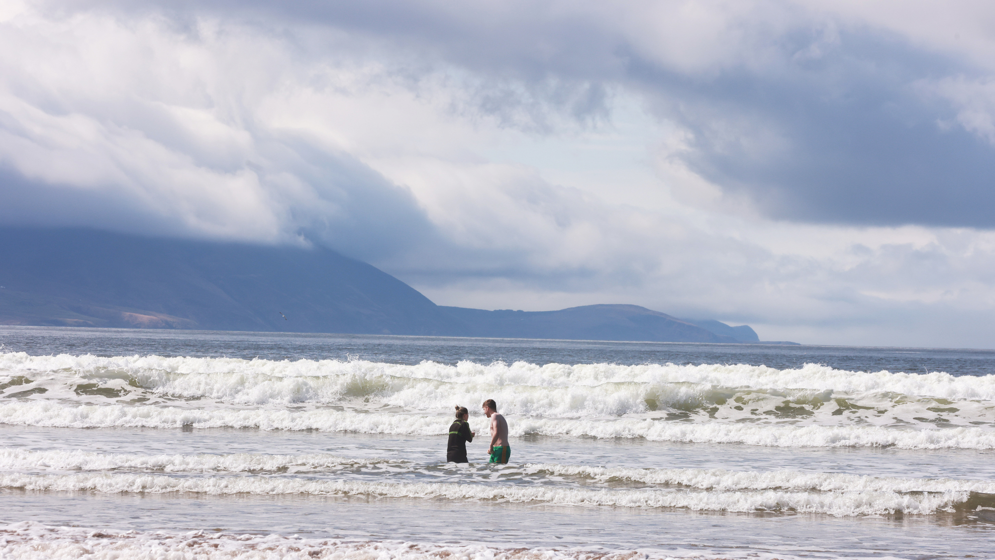
Summer-like scenes on Inch Strand in County Kerry, as people make the best of a break in the recent bad weather to take advantage of sun, sea, sand, waves and mountains on the Wild Atlantic Way. Photo: Eamonn Farrell/RollingNews.ie
Met Éireann has confirmed that Sunday was the hottest day of the year so far, with mercury highs of over 20C recorded in three separate locations across the country.
The highest temperature of 21.3C was recorded in Met Éireann's weather station located in Mount Dillon, Co Roscommon.
This recording was closely followed by a recording taken from the weather station in Athenry, Galway, where temperatures reached a total of 20.4C.
Shannon Airport, Co Clare, also noted rising temperatures, with highs of 20C recorded over the day.
In Leinster, Met Éireann's station located at Dublin's Casement Aerodrome recorded the highest daytime temperatures for the province, with a maximum temperature of 19.6C noted.
Today was the warmest day of the year so far. ☀️😎
— Met Éireann (@MetEireann) April 16, 2023
21.3°C was recorded at Mount Dillon, Co. Roscommon. 🌡️ 📈
View more data from our synoptic stations here 👇https://t.co/MvCx72KIaT pic.twitter.com/CPQPskb6hk
Ulster saw temperature highs of 19.2C, which was recorded at Donegal's Finner Camp weather station.
Munster saw the biggest range in temperatures recorded throughout the province, with highs of 20C reported in Clare, alongside lows of 11.6C recorded in Sherkin Island, Cork.
The warmest temperatures in Cork did not exceed the 14.5C recorded at Moore Park, with Cork Airport (12.2C) and Roches Point (11.6C) among the lower end of the scale too.
The mild spell is set to continue into Monday, with highest temperatures of between 13C and 18C expected.
"Low cloud, mist, and fog will break up through the morning leaving another pleasant day of sunny spells," the forecaster said.
Lowest temperatures of 6C to 10C are expected tonight, which may turn "potentially a little cooler where clear spells persist".
Tuesday will begin with mist and fog, which is set to clear early in the morning, leaving "a mostly dry sunny day although a few isolated light showers are possible in the west".
Overnight temperatures are expected to take a turn with lows of 4C to 7C expected.
Wednesday presents itself as a "cloudier cooler day overall and that will bring a scattering of showery outbreaks through the morning, but sunny spells will develop in most parts during the afternoon".
Highest temperatures of 11 to 14 degrees are expected throughout the day, with temperatures dropping to between 4C and 8C overnight.
"Dry sunny conditions will return for Thursday although the wind is going to dictate the temperatures with mostly moderate easterly winds limiting highs in the east to between 11C and 13C," the forecaster said.
Temperatures will reach between 14C and 16C in the West.
Later in the week, the weather is looking a little more uncertain, with Met Éireann forecasting "more cloud about generally and there is the chance of showers at times".

CONNECT WITH US TODAY



Be the first to know the latest news and updates