Councillors hit out at OPW mapping system which has house in flood risk area despite it being 100ft above river
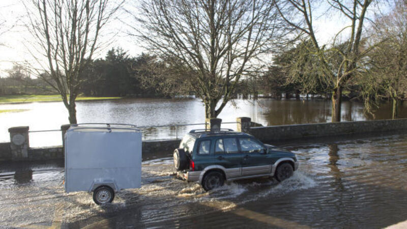
Talks are being finalised between Cork County Council and their insurers which will provide liability cover for the local authority in the event it fails to erect flood barriers in Mallow and homes and businesses are damaged as a result.

County engineer, Kevin Morey, told councillors attending a meeting of the Northern Division that Arup Consulting Engineers has finalised a risk assessment study.

He said on foot of that, a report has been submitted to the council's insurers IPB (Irish Public Bodies).

Mr Morey said a meeting had recently taken place between council officials and the IPB with a view to finalising insurance cover.

He said once the matter is completed a Service Level Agreement (SLA) will be finalised between the OPW and the council which acts as its agents on the ground for the maintenance of the project and the erection of flood barriers in certain parts of the town.

A similiar SLA will be signed off for flood works in Fermoy.

If the council is negligent in putting up these barriers on time it would theoretically open the way for householders and businesses to sue them for damage through the IPB.

A number of councillors welcomed the move.

Mr Morey then provided progress reports on other flood schemes in the area.

At one stage, Cllr Bernard Moynihan said he was horrified to have learnt that a large proportion of one of the highest villages in Cork had been designated to be on a flood plain.

Cllr Moynihan said it was "absolutely ridiculous" that parts of Rockchapel had been designated at risk from flooding.

He then referred to one particular case he was dealing with which he maintained showed just how ludicrous a desktop mapping system produced by the OPW was.

He said an elderly couple had been refused planning permission for a house near the village because the site was listed at risk on the mapping system, to which council planners adhered.

However, Cllr Moynihan pointed out that the site they had chosen was 100ft above the river.

"I understand that a hydrologist's report was even submitted which showed it couldn't be at risk. But it was still rejected," Cllr Moynihan said.

He said there were also flood restriction areas in the nearby village of Meelin, which he claimed was also ludicrous as it was so elevated it has "the highest GAA pitch in Ireland".

"Anybody who knows these villages will understand they won't be flooding there."

Cllr Gerard Murphy agreed with him.

"There was a lot of concern about the OPWs desktop studies," he said.

Cllr Ian Doyle agreed saying the flood risk maps weren't entirely accurate. He said they were causing unnecessary problems for people seeking planning permission and flood insurance.

x

More in this section

Lunchtime News

Newsletter

Keep up with stories of the day with our lunchtime news wrap and important breaking news alerts.

Cookie Policy Privacy Policy Brand Safety FAQ Help Contact Us Terms and Conditions

© Examiner Echo Group Limited