Irish Examiner view: Leading the way on seabed mapping
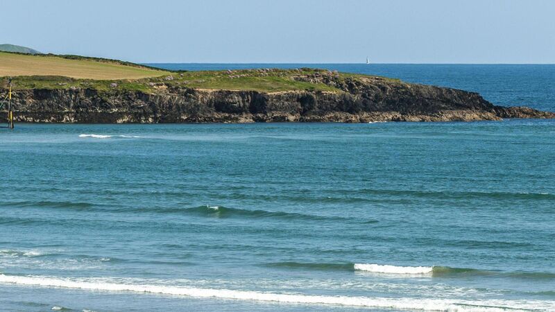
Infomar project aims to map Ireland’s marine territory, estimated to be 10 times greater than land
Irish Examiner view: Leading the way on seabed mapping

Ireland is set for another world first with plans to map the entire seabed, all 880,000sq km of it, by 2026.

Between 1825 and 1846, teams of surveyors criss-crossed Ireland to create a unique record of the Irish landscape. The resulting maps — at a scale of 6in to 1in — charted the country in a degree of detail that had never been seen anywhere before.

Now, Ireland is set for another world first with plans to map the entire seabed, all 880,000sq km of it, by 2026.

The project to map Ireland’s marine territory, estimated to be 10 times greater than land, began in 1999 as the Irish National Seabed Survey. It continues today as Infomar, a joint venture by the Geological Survey of Ireland and the Marine Institute.

Infomar (or Integrated Mapping for the Sustainable Development of Ireland’s Marine Resource) uses sensing equipment to map the physical, chemical and biological features of the seabed.

The data it gathers is important for environmental protection and economic growth and it has a range of applications from shipping and navigation to renewable energy and aquaculture and tourism. Not to mention the fact that it gives Ireland the distinction of developing the largest seabed mapping project in the world.

More in this section

Revoiced

Newsletter

Sign up to the best reads of the week from irishexaminer.com selected just for you.

Cookie Policy Privacy Policy Brand Safety FAQ Help Contact Us Terms and Conditions

© Examiner Echo Group Limited