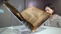
Clodagh Finn: He mapped the bedrock of Ireland, she drew it. One couple’s nationwide odyssey
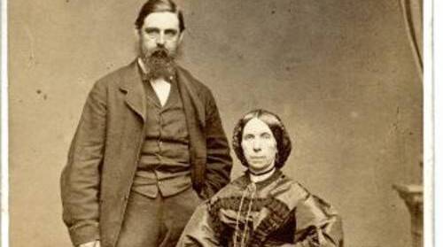
Field geologist Henry Kinahan and his artist wife Harriette who wrote diaries of their 'enduring odyssey' to map the geology of Ireland in the 19th century. Picture: courtesy of the Royal Irish Academy

If you want to map the geology of Ireland, you have to move around. That’s a given, yet it is still striking to see a list of the 25 different places Henry and Harriette Kinahan set up home, along with a growing family, during their 19th-century odyssey around Ireland.
For Henry, a well-known geologist, it was part of his work mapping the country’s bedrock for Geological Survey Ireland (GSI). Harriette took an active interest too, often accompanying her husband in the field to sketch or paint landscapes that would later illustrate his scientific research.

CONNECT WITH US TODAY



Be the first to know the latest news and updates