Cork traffic and weather: Met Éireann forecasts cloudy and misty conditions with scattered showers
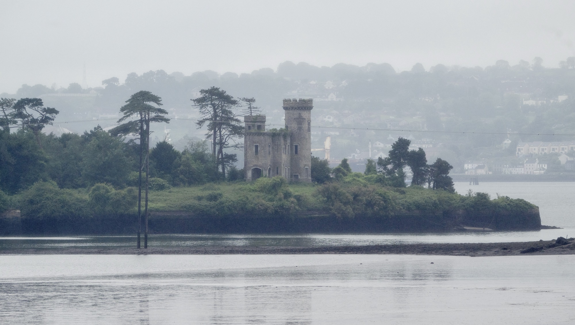
The national forecaster said a clearance will move down from the northwest later in the afternoon. Picture: Chani Anderson.
Met Éireann has said it will be mostly cloudy for much of Tuesday, with occasional outbreaks of rain, drizzle, and mist.
The national forecaster said a clearance will move down from the northwest later in the afternoon, with some rain and drizzle lingering into this evening in some southeastern coastal areas.
It will be a cooler day with afternoon temperatures of 11C to 15C with light to moderate northerly breezes.
Any lingering rain in the southeast will clear overnight, leaving a dry night for many with clear spells.
However, well-scattered showers will feed into the west.
It will be colder than previous nights, with lowest temperatures of 1C to 7C with a light to moderate northerly breeze.
Traffic has already started to build across some of Cork's major city links including the N40 and the M28.
Increased flows have also been observed travelling along the city centre quays.
Motorists travelling in the area of Carr's Hill should further be aware of reports of a collision on the N28 Ringaskiddy Road between Shannonpark and the turn-off for Raffeen.
Wednesday will be a cool and bright autumnal day with sunny spells and scattered showers pushing in from the northwest.
Highest temperatures of 11C to 14C are expected with a moderate to fresh northwesterly breeze.
Wednesday night will be mainly dry with long clear spells and isolated showers affecting the west and north.
Cloud will begin to thicken from the west towards morning, with lowest temperatures of 4C to 9C and a light west to northwest breeze expected.
Thursday will also be mainly dry to start with some sunshine in the east.
Cloud will continue to build from the west with rain moving in over much of the western half of the country through the morning, becoming widespread during the afternoon.
The heaviest and most persistent rain will be in the west and north.
Met Éireann has said it will feel a little milder and more humid with highest temperatures of 11C to 15C degrees.
Thursday night will be cloudy with outbreaks of rain and drizzle continuing overnight, becoming heavy and persistent at times in the west and north.
A clearance will push into the west and northwest later in the night, with lowest temperatures of 9C to 14C with moderate to fresh west to southwest winds.
Friday will start with patchy rain, which will continue to clear southeastwards through the morning with sunny spells and scattered showers following.
Highest temperatures of 12C to 15C degrees, with fresh and breezy conditions are expected.
Saturday will then see a mix of scattered showers and sunny spells, most frequent in the west and northwest.
Highest temperatures of 11C to 14C degrees in moderate to fresh westerly winds are expected.
Sunday will see a bright start before showers of rain and drizzle will spread from the southwest through the afternoon.


Check out the Irish Examiner's WEATHER CENTRE for regularly updated short and long range forecasts wherever you are.
CONNECT WITH US TODAY



Be the first to know the latest news and updates