Storm Éowyn to bring 'damaging' gusts and disruption to Ireland this week
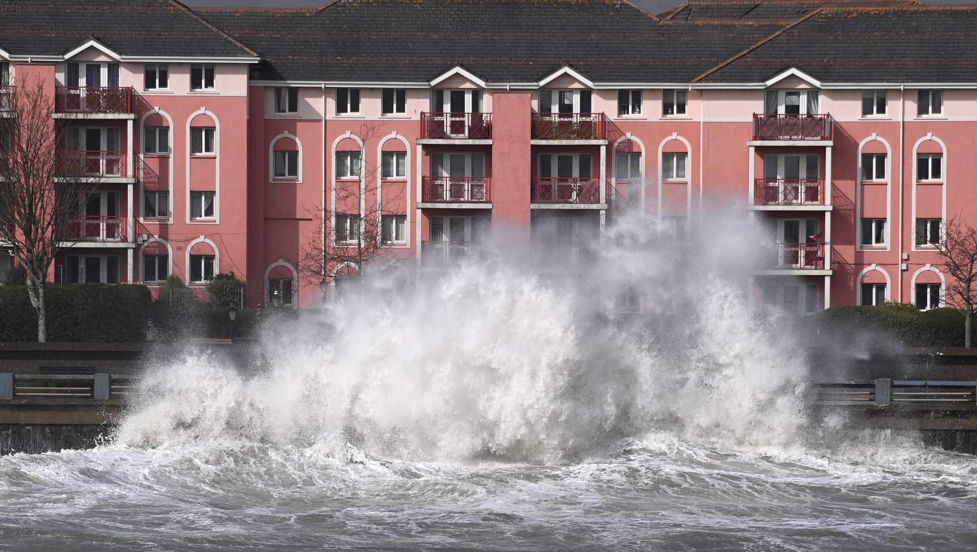
Met Éireann has issued a fresh advisory for the country ahead of the storm, which will bring "damaging wind gusts and disruption in places". File picture: Eddie O'Hare
Storm Éowyn will hit the country later this week as "very strong to gale force winds" are set to sweep across Ireland.
Met Éireann has issued a fresh advisory for the country ahead of the storm, which will bring "damaging wind gusts and disruption in places".
The forecaster said: "On Thursday night and Friday, a deepening low-pressure system, Storm Éowyn, is forecast to track across Ireland. Very strong to gale force winds are expected across the country with the potential for damaging wind gusts and disruption in places.
"Transitory falls of sleet and snow are expected too, especially across west and northwest counties. High seas and spells of heavy rain are expected also."
Met Éireann said it is continuously monitoring the evolving situation and weather warnings will be issued as confidence in the forecast improves.
The advisory is valid until midnight on Saturday.
It comes as a fresh fog warning has been issued for most of the country from 10pm on Tuesday until 10am on Wednesday.
The status yellow warning will impact Carlow, Kildare, Kilkenny, Laois, Longford, Louth, Meath, Offaly, Westmeath, Cavan, Monaghan, Leitrim, Roscommon, Tipperary and Waterford.
"Foggy conditions will lead to impaired visibility," the warning states.
An earlier nationwide fog warning was lifted at 11am on Tuesday, leaving "a dry day for many with sunny spells and scattered showers".
Meanwhile, Met Éireann says Tuesday will be "cloudier at first in the south and east with outbreaks of rain and drizzle, brightening up there in the afternoon". Temperatures will reach highs of 6C to 9C.
There will be "plenty of dry weather overnight" with clear spells and scattered showers, most frequent in the west and north. There will be some "frost patches" while temperatures will fall to lows of -1C.
The fog will again be slow to clear on Wednesday, with it "possibly lingering a while longer in parts of the east and north".
"Elsewhere will see sunny spells and scattered showers," Met Éireann said. Wednesday night will be "dry for most at first with clear spells and well scattered showers". Temperatures will fall to lows of just 2C.
From Thursday night, it is going to become "very unsettled" with wet and windy weather set to continue into the weekend.
Storm Éowyn is the fifth named storm of the season — as per the storm names list for the 2024/25 season.
Since 2015, Met Éireann and the UK Met Office have been working together on the naming programme and were joined by the Netherlands’ KNMI in 2019.
The head of the forecasting division in Met Éireann, Eoin Sherlock, explained how the naming of storms benefits the public.
"Our key priority is to help protect life and property from extreme weather and ensure the safety of our communities. Year after year, storm-naming proves effective for that.
"Naming each storm increases the level of public safety and preparedness as people are more likely to remember and respond to warnings when storms are named."

Check out the Irish Examiner's WEATHER CENTRE for regularly updated short and long range forecasts wherever you are.
CONNECT WITH US TODAY



Be the first to know the latest news and updates