Advanced satellites to make weather forecasts more precise than ever before
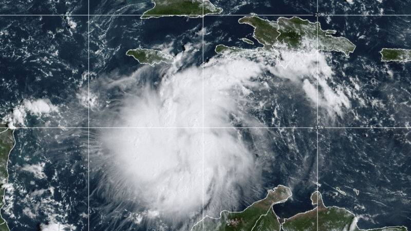
The launch of the MTG-I1 satellite, which will orbit 36,000kms above the equator, means that forecasters will be able to laser in on more accurate monitoring of the likes of wildfires, storms, fog, and lightning. File picture
Weather forecasting throughout Europe is to become more precise then ever before, following the first launch of new advanced satellites into space.
The launch of the MTG-I1 satellite, which will orbit 36,000kms above the equator, means that forecasters will be able to laser in on more accurate monitoring of the likes of wildfires, storms, fog, and lightning, the European Organisation for the Exploitation of Meteorological Satellites, or EUMetSat, said.
Airlines and air traffic control will also benefit from the new programme. EUMetSat director-general Phil Evans said MTG-I1 will generate images of Europe and Africa every 10 minutes, faster than has been possible up until now, in higher resolution and in more precise detail.
“This data will help meteorologists meet one of their main challenges – timely and accurate forecasts of rapidly developing severe weather events – so that citizens, first responders and civil authorities can take appropriate action.
“The satellite’s lightning imager will continuously map lightning flashes between clouds and from clouds to the ground, which is a first for Europe with significant community and aviation industry safety benefits.”
The satellite, which was launched on an Ariane-5 rocket, will take about a year to settle in and provide, what EUMetSat says, will be enhanced weather forecasting.
The Darmstadt, Germany-based operated satellite will undergo a 12-month commissioning phase, in which its instruments will be calibrated and the data they produce validated, before becoming operational, the organisation said.
The full constellation will comprise two imaging satellites and, for the first time, a sounding satellite. MGT-11, or Meteosat Third Generation to give its full title, is a European success story, Mr Evans said.
It is the most complex and innovative geostationary meteorological system ever built, with two different types of satellites delivering at least 50 times more data than Meteosat Second Generation, according to EUMetSat. Images of Europe alone will be delivered every 2.5 minutes, while images of Europe and Africa will be delivered every 10 minutes.
The Lightning Imager instrument provides data crucial for detecting and so-called “nowcasting” — up-to-date, real-time forecasting — storms, which is of significant benefit to the likes of aviation, EUMetSat said.
The Infrared Sounder makes its world debut on an operational satellite mission, and will provide 3D-profiles of temperature and humidity over Europe every 30 minutes.
Meanwhile, the Ultraviolet, Visible and Near-Infrared Sounder measures trace gases and aerosols over Europe every 60 minutes, and this information will be used for monitoring and forecasting air quality.
"The provision of very frequent and high-resolution imagery from MTG imaging satellites will help European forecasters in their most challenging task – the “nowcasting” of fast-developing, high-impact weather. Nowcasting is critical for the protection of life and property and for important sectors of the economy, in particular, civil aviation," EUMetSat said.
Check out the Irish Examiner's WEATHER CENTRE for regularly updated short and long range forecasts wherever you are.