Maps used by crew of Rescue 116 were blurred and inaccurate
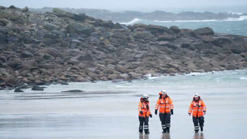
Maps used by the crew of Rescue 116 were blurred and contained incorrect details about Blackrock Island.

Maps used by crew of Rescue 116 were blurred and inaccurate

Maps used by the crew of Rescue 116 were blurred and contained incorrect details about Blackrock Island.

RTÉ's Prime Time discovered that the height was hidden behind the location code in the helicopter's moving map, while a trial map showed it as 46ft instead of 282ft.

Already a subscriber? Sign in

You have reached your article limit.

Unlimited access. Half the price.

Annual €130 €65

Best value

Monthly €12€6 / month

More in this section

Lunchtime News

Newsletter

Keep up with stories of the day with our lunchtime news wrap and important breaking news alerts.

Cookie Policy Privacy Policy Brand Safety FAQ Help Contact Us Terms and Conditions

© Examiner Echo Group Limited