Wetland map for Kerry needed to provide information for land use
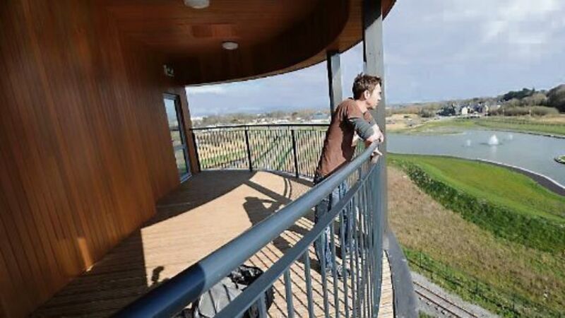
Ecologists with Wetland Surveys Ireland set out to identify all wetland areas to help provide important information for land use planning and sustainable development in the county.
The ecologists identified 38 wetland habitat types in more than 500 individual sites and information on these sites has been collated into a single, digital wetland map of the county.
Patrick Crushell, who worked on the Kerry Co Council-commissioned survey, said the situation regarding wetlands was improving, largely due to better planning controls, but more studies were required.
“A full survey of all wetlands is needed to establish the full extent and value of these areas and to provide comprehensive information for planners and those responsible for land use,” he added.
“Some valuable wetlands have disappeared over the years and the raised bogs in north Kerry are virtually gone, but everything possible should be done to conserve what’s left of them.”
Mr Crushell said that the wetland map should provide a very useful resource to help ensure the future sustainable use of the county’s wetlands.
Wetlands support a variety of plants and animals specially adapted to wet conditions, and include bogs, marshes, swamps, wet woodlands, lakes, ponds, salt-marshes, estuaries and coastal lagoons. They also provide important ecosystem services such as flood prevention, provision of clean water, and carbon storage.
Go to www.wetlandsurveysireland.com to download the Kerry report.