Satellite launched by India and Nasa will track changes to Earth’s land and ice
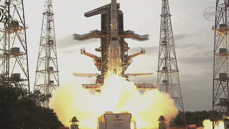
Satellite launched by India and Nasa will track changes to Earth’s land and ice
The satellite is launched from an Indian island (NASA via AP)

Nasa and India have teamed up to launch an Earth-mapping satellite capable of tracking the slightest shifts in land and ice.

The 1.3 billion dollar (£980 million) mission will help forecasters and first responders stay one step ahead of floods, landslides, volcanic eruptions and other disasters, according to scientists.

Already a subscriber? Sign in

You have reached your article limit.

Unlimited access. Half the price.

Annual €120 €60

Best value

Monthly €10€5 / month

More in this section

Cookie Policy Privacy Policy Brand Safety FAQ Help Contact Us Terms and Conditions

© Examiner Echo Group Limited