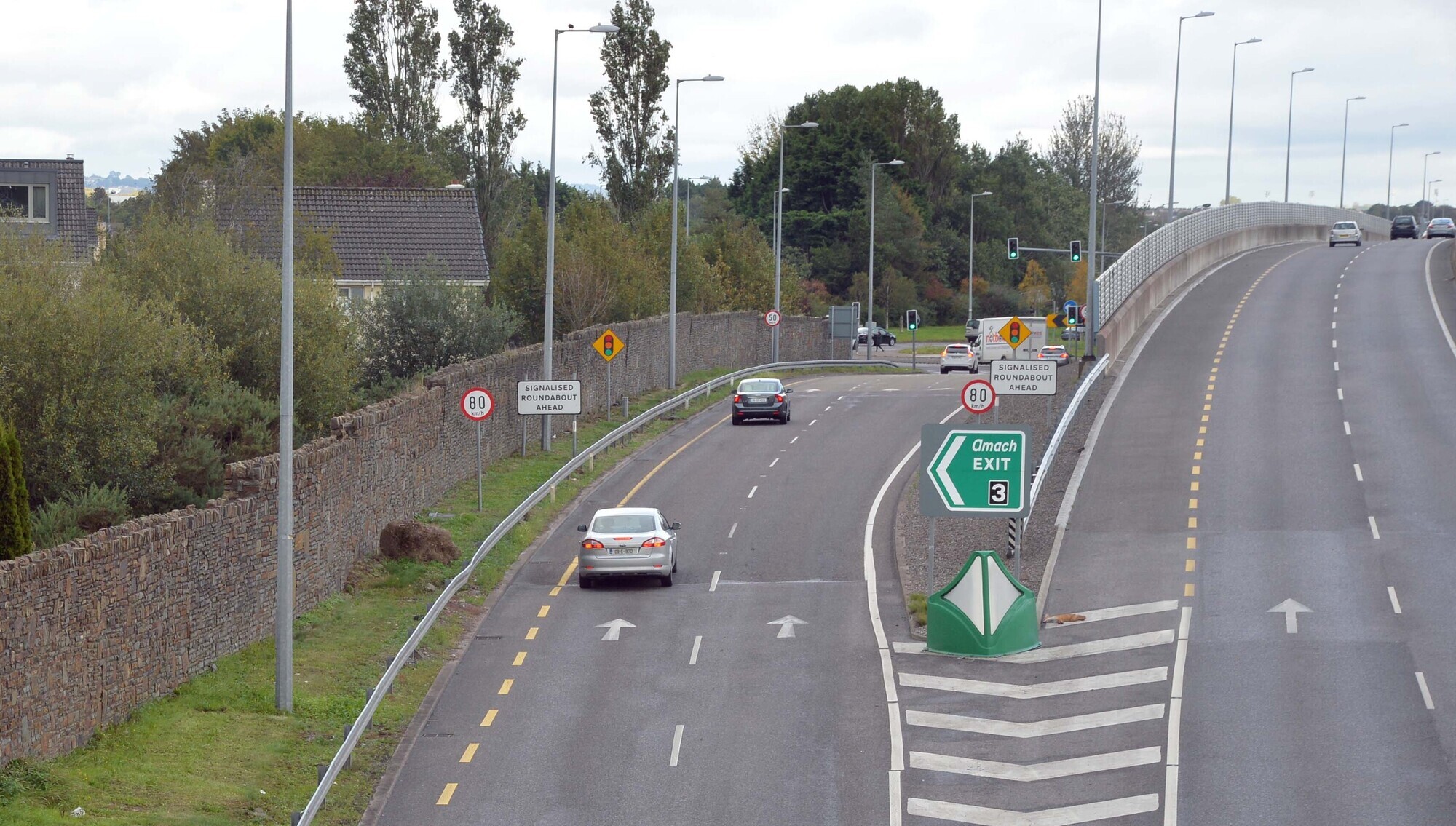
Cork weather and traffic: Vehicle on fire leads to road closure near Bandon roundabout

Further localised flooding and isolated thunderstorms are possible in Cork and Munster, following some very heavy spells of rain on Thursday evening.
The national forecaster has warned that localised flooding and isolated thunderstorms are possible in Cork and Munster. Nighttime temperatures will sit between 11C and 15C. picture Chani Anderson 

The national forecaster has warned that localised flooding and isolated thunderstorms are possible in Cork and Munster. Nighttime temperatures will sit between 11C and 15C. picture Chani Anderson 

Friday will bring sunny spells but also some heavy showers in the south of the country, with Met Éireann predicting it will also stay very warm and humid. 

Highs of between 18C to 22C are expected for the day, with rain dominating Friday night as well. 

The national forecaster has warned that further localised flooding and isolated thunderstorms are possible in Cork and Munster, following some very heavy spells of rain across the country on Thursday evening. Nighttime temperatures will sit between 11C and 15C. 

Flash flooding in Killarney on August 27 2026. Picture: Screenshot from Kerry County Council - Comhairle Contae Chiarraí/X

Saturday will then start cloudy and wet with widespread rain, turning heavy at times. It will start to clear eastwards through the morning and early afternoon with isolated showers and some brighter spells coming through. Highs of 16C to 20C are expected. 

It will then be mostly dry on Saturday night, with clear spells and just isolated showers. Overnight, cloud will start to increase, and more frequent showers will come in the south and west, turning heavy at times. Lows of 11C to 15C are expected. 

Traffic

A road closure is currently in place on the N40 on the slip road off Junction 3 in the eastbound direction near the Bandon Roundabout due to a vehicle on fire. 

"All lanes affected," TII said. 

"Delays to your journey will occur. Consider a different journey start time or route. When approaching the hazard area drive with caution and reduce your speed," they added. 

Meanwhile, delays are expected on the M28 and N40 on Friday morning as traffic starts to build up across the roads. The N27 is also seeing delays. 

No road closures have been planned. However, on the M8, a road closure is in place between Junction 10, Cahir, and Junction 13, Mitchelstown to facilitate roadworks. 

TII say all lanes are affected. 

Outlook

Sunday will see a cloudy and wet start to the day as rain spreads northeastwards across the country. It can turn heavy and possibly thundery at times. The rain will start to clear then through the day before sunny spells and scattered showers follow. Highs of 15C to 18C are expected. 

It will be "breezy" on Sunday night with a mix of clear spells and scattered showers, merging into longer spells of rain at times. 

Looking into next week, Monday will be breezy with sunny spells and scattered showers at first, becoming cloudier later. Temperatures will stay between 15C and 18C. 

Showers will continue on Monday night, and after a mostly cloudy start, some clear spells will develop overnight. Lows of 10C to 14C. 

Tuesday will then see dry and bright weather with well-scattered showers as well. Highs of 15C to 19C are expected. 

x

Check out the Irish Examiner's WEATHER CENTRE for regularly updated short and long range forecasts wherever you are.

More in this section

Lunchtime News

Newsletter

Get a lunch briefing straight to your inbox at noon daily. Also be the first to know with our occasional Breaking News emails.

Cookie Policy Privacy Policy Brand Safety FAQ Help Contact Us Terms and Conditions

© Examiner Echo Group Limited