Cork coastline mapping project to identify areas susceptible to coastal erosion

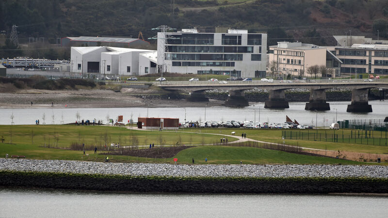
Researchers at the UCC-based climate research centre, MaREI, will use a monitoring and modelling programme to get a greater understanding of the coastline behaviour. File picture: Eddie O'Hare
The coast of Cork is to be mapped for coastal erosion in a joint project between Cork County Council and the UCC-based climate research centre, MaREI.
The three-and-a-half-year initiative will see UCC researchers at the Science Foundation Ireland-funded centre conduct a detailed review of the 1,199km Cork coast to assess areas that are vulnerable to coastal erosion and inform the future planning of coastal management.
CLIMATE & SUSTAINABILITY HUB


