Ireland's luck in avoiding extreme flooding to 'run out eventually'
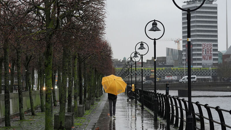
Human-induced climate change heightened the risk of flooding during Storm Claudia earlier this month, according to a group of researchers from Maynooth University and climate scientists from Met Éireann. Picture: Brian Lawless/PA
Ireland's luck is going to "run out eventually" when it comes to avoiding an extreme flooding event and when it happens the impact will likely be far worse than we have ever experienced before.
Human-induced climate change heightened the risk of flooding during Storm Claudia earlier this month, according to a group of researchers from Maynooth University and climate scientists from Met Éireann.
They studied data from the storm that hit Ireland only a few weeks ago and found that the rainfall associated with Claudia was 12% higher than the pre-industrial climate.
Moreover, we can expect similar events in future to carry even greater flooding risks as global warming continues.
“It is important to stress how lucky Ireland has been in recent years when it comes to the occurrence of extreme weather events such as storms and heavy precipitation events, and that they haven't occurred at the same time as a spring high tide,” Lionel Swan, Maynooth PhD student at the Wasitus project in the Icarus Climate Research Centre, said.
“The Midleton flooding of 2023, Storm Éowyn in January, and Storm Amy in October of this year all coincided with either a neap tide or with a spring low tide.”
In the Midleton case, hundreds of homes and businesses were flooded, bringing hundreds of millions of euro worth of damage as the water levels rose at a ferocious speed.
But scientists said in the aftermath that the town avoided far worse devastation due to the relatively low tidal levels at the time.
Mr Swan said these tidal conditions reduce the severity of flooding as they allow water from rivers to essentially escape to the ocean.
This happened again with Storm Claudia as the heaviest rainfall occurred in the days following a neap tide.
“The worry is that our luck will run out eventually, [and] we will experience an extreme event that coincides with a spring high tide, and the resulting impacts for flooding are likely to be far worse than we’ve experienced before,” he said.
The researchers found that the heavy rain recorded during Storm Claudia followed several unusually wet months.
In September, 144% of the average rainfall was recorded, with October seeing 123% of its average rainfall.
There were localised extremes in November with Johnstown Castle in Wexford recording 58% of its average rainfall for that month in a single 24-hour period.
All this left soils saturated, river levels elevated, and catchments “highly responsive to additional rainfall”.
“While the potential threats from the two-day rainfall event in the south-east were well communicated to the public, flood defences were seriously tested,” Maynooth’s Dr Claire Bergin, from the Wasitus project, said.
By looking at both the two-day rainfall event for Storm Claudia which affected Dublin, Wexford, and Wicklow in particular, and the 30-day rainfall across nine counties with rivers that feed into south-eastern areas, the scientists said they pinpointed how intense short-term rainfall and prolonged wet conditions heightened the flooding risk in these areas.
They said both the two-day and 30-day scenarios have become “twice as likely” as would have been the case in a pre-industrial climate.
The scientists said that similar two-day rainfall events would happen every one-to-two years if 3C of global warming is allowed to happen.
“The science now confirms that when these rainfall events occur, they will bring more rain than in the past because a warmer atmosphere can hold more moisture," Met Éireann climatologist Paul Moore said.
"This is one of the consequences of living in a warmer world.”
CLIMATE & SUSTAINABILITY HUB