This interactive Census map reveals incredibly detailed local data
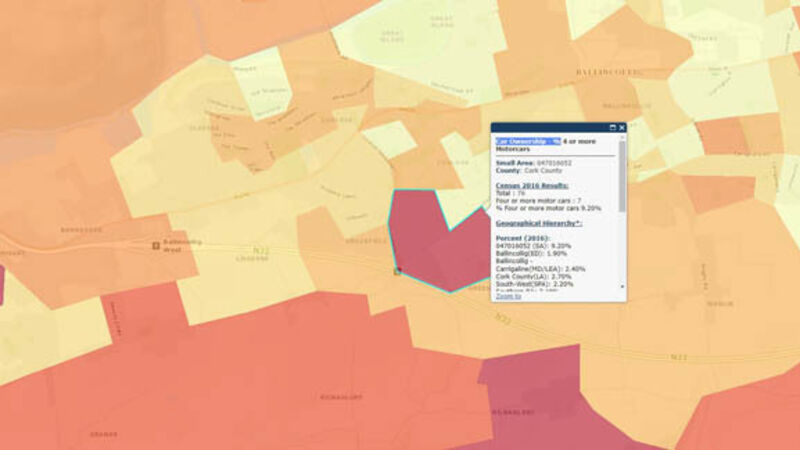
An online tool that allows the public to map hundreds of types of data at the local level has been launched today.

This interactive Census map reveals incredibly detailed local data

An online tool that allows the public to map hundreds of types of data at the local level has been launched today.

Maynooth University’s All-Island Research Observatory (AIRO) today launched the Census 2016 Mapping Viewer, providing access to vast amounts of information collected in the nationwide survey.

Already a subscriber? Sign in

You have reached your article limit.

Unlimited access. Half the price.

Annual €120 €60

Best value

Monthly €10€5 / month

More in this section

Lunchtime News

Newsletter

Keep up with stories of the day with our lunchtime news wrap and important breaking news alerts.

Cookie Policy Privacy Policy Brand Safety FAQ Help Contact Us Terms and Conditions

© Examiner Echo Group Limited