Met Éireann issues three new weather warnings
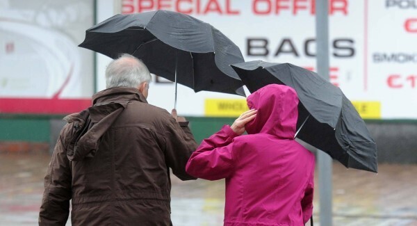
Met Éireann has issued three new weather warnings this morning.
It has warned of “southwest veering west winds of mean speeds in excess of 80 km/h, with gusts of 130-150km/h possible.
Strongest winds are along exposed coasts. Red isobars indicate where winds are strongest. via http://t.co/Y2oT653ycW pic.twitter.com/haJSFxQIlE
— AAWeatherWatch (@AAWeatherWatch) January 15, 2015
“The strongest winds will be along exposed coasts and mountainous areas.”
The warning applies to Donegal, Galway, Leitrim, Mayo and Sligo, and is valid until 2pm tomorrow.
Very dangerous RT @dygmphotography: #StormRachel #R294 3 miles Tubbercurry side of Gurteen @aaroadwatch #newlowbridge pic.twitter.com/TR0PcZy3mW
— The AA Ireland (@aaroadwatch) January 15, 2015
Salthill prom in Galway this morning. Great pic by Joe O'Shaughnessy pic.twitter.com/DoQ0dSOmD3
— Barry O'Sullivan (@siliconbarry) January 15, 2015
It replaces a previous, similar warning
Read More:
These counties have now been added to those subject to a Status Orange wind warning, also issued this morning, alongside Dublin, Louth, Wexford, Wicklow, Meath, Cavan, Monaghan, Roscommon and Waterford.
Some smaller aircraft have been diverted due to winds gusting over 43 knots @DublinAirport passengers advised to check airline for updates.
— Dublin Airport (@DublinAirport) January 15, 2015
This update has warned of 65-80 km/h winds, with gusts of up to 120 km/h at times, highest in exposed areas. Winds are expected to veer westerly later.
A Status Yellow warning has been issued for remaining counties, which could face wind gusts of up to 100 km/h.
Both the Orange and Yellow warnings are in effect until 6pm tomorrow.
Stormy today, especially in parts of Conn, Ulst & N Leins with gusts 130 to 150km/h in exposed places. Widespread shwrs, some prolonged....
— Met Éireann (@MetEireann) January 15, 2015
.... in parts of W & N & some sleet or snow on higher ground in N. Cold, highs 4 to 7 deg.
— Met Éireann (@MetEireann) January 15, 2015
A Status Yellow Rainfall Warning for Connacht, Donegal, Clare, Cork, Kerry and Limerick, issued yesterday just after 2pm, remains in effect, with rainfall totalling up to 35mm expected.
Gale force winds with gusts of up to 150km/h and torrential rain knocked out electricity in Donegal, Cork, Killarney, Galway, Athlone, Tullow and Wexford overnight.
Satellite imagery showing a powerful low pressure system moving across the UK last night https://t.co/buV2s4Q9Ic #ukstorm
— Met Office (@metoffice) January 15, 2015
A number of schools nationwide have been forced to close while ferry operators have cautioned passengers to check for cancelled services before travelling.
ESB Networks has said that its repair crews had restored power to 5,000 customers across the country by 9.45am.
It estimated the total number of customers without power at 17,000 following more than 280 individual faults.
The company warned that one large fault in Donegal was affecting 10,000 customers in Glenties and Derrybeg.
“The storm is still raging, as people are aware out there,” said ESB spokesperson Bernadine Maloney.
“We’re still assessing the damage. We don’t have an estimate for return of supply just yet. People could be out overnight at this point in time.”
The company also stated: “In the remainder of the country, Galway and the south west have 2,500 customers without power with other smaller pockets of faults across the country.
“ESB crews are working to restore supply to customers affected. However the forecast is for increasing gale- force winds to come ashore in the north west and west, which may cause further damage to the electricity network, and we expect the numbers of customers without supply to rise during the day.”