Plan to map erosion of Cork's coastline

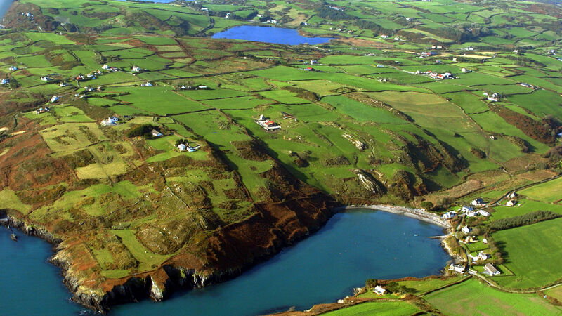
About 20% of Ireland's coast is estimated to be at risk of coastal erosion. Picture: Denis Scannell
The entire Co Cork coast is to be assessed and mapped for coastal erosion, in a three-and-a-half-year project by a partnership of Cork County Council and MaREI (the Energy, Climate and Marine Research Centre at UCC).
The findings will inform future planning of coastal management, which is critical for the South-West coast from the Dingle Peninsula to Cape Clear, which is predicted to face the largest climate change increase in erosion, at a rate of 3.3mm to 4.8mm per year.
CLIMATE & SUSTAINABILITY HUB


