Millions under storm watches as Lee is downgraded
The US National Hurricane Centre downgraded Hurricane Lee to a post-tropical cyclone but millions of people remained under storm watches and warnings early on Saturday as the storm still could produce hurricane-force winds, torrential rain and coastal flooding.
Severe conditions were predicted as a possibility across portions of Massachusetts and Maine and hurricane conditions could hit the Canadian provinces of New Brunswick and Nova Scotia, where the storm had been predicted to make landfall later on Saturday.
The storm was located about 230 miles south-west of Halifax, Nova Scotia, and about 220 miles south-east of Eastport, Maine on Saturday morning.
There were about 20,000 power outages from Massachusetts to Maine early on Saturday. There were reports of trees down in Hancock and Washington counties in eastern Maine, according to Todd Foisy, a meteorologist from the National Weather Service in Maine.
“We have a long way to go and we’re already seeing downed trees and power outages,” Mr Foisy said Saturday.
Peak gusts are projected to be 70mph on the coast in eastern Maine, but there will be gusts up to 50mph across a swath more than 400 miles wide, from Maine’s Moosehead Lake eastward all the way into the ocean, he said.
Post-Tropical Cyclone #Lee Advisory 44: Lee Becomes Post-Tropical as it Approaches Nova Scotia, But It Is Still Producing Hurricane-Force Winds. Nhc Advisories Will Continue. https://t.co/tW4KeGe9uJ
— National Hurricane Center (@NHC_Atlantic) September 16, 2023
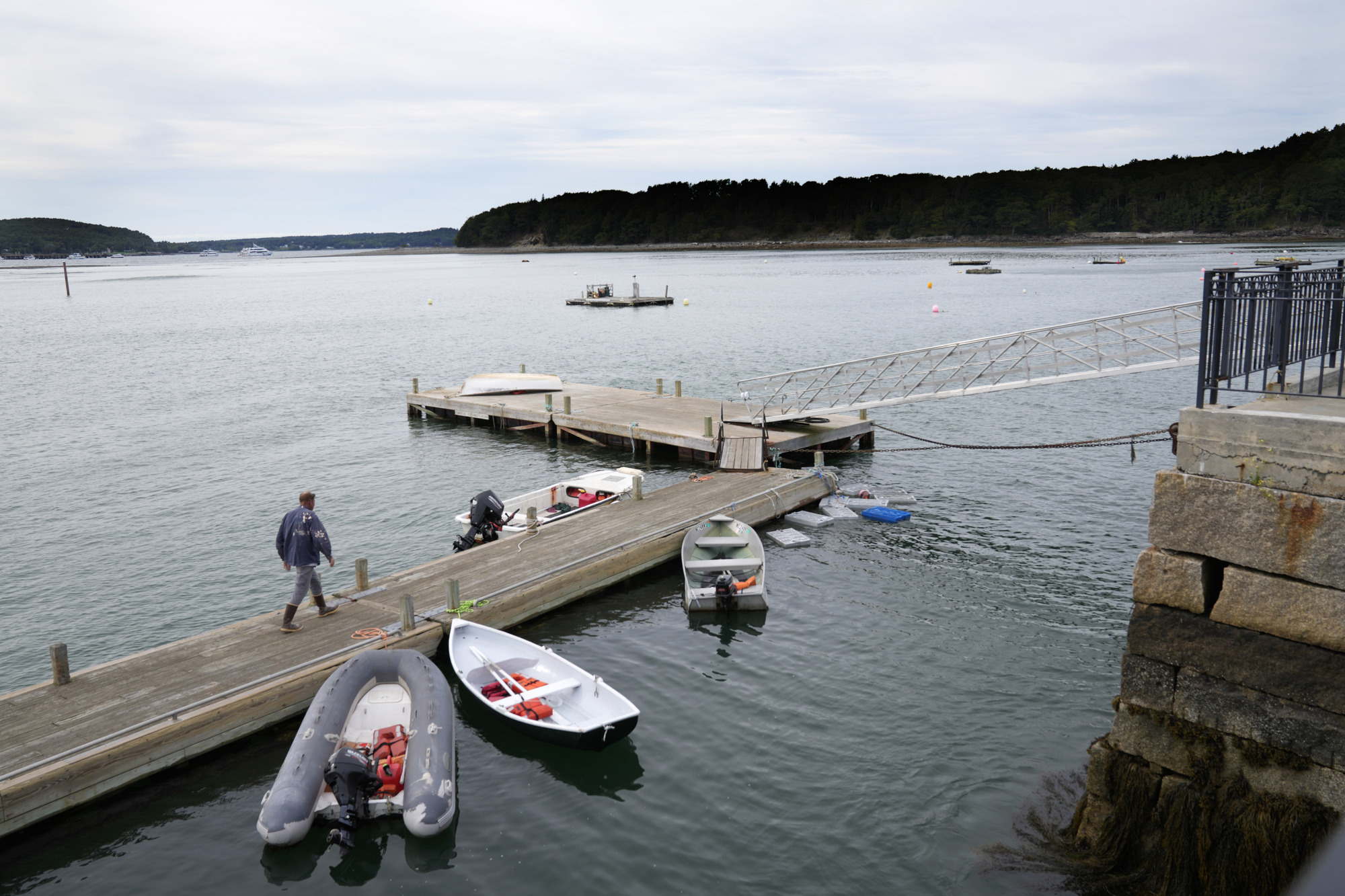
Cruise ships found refuge at berths in Portland, while lobstermen in Maine and elsewhere pulled their costly traps from the water and hauled their boats inland, leaving some harbours looking like ghost towns on Friday.
Lee already lashed the US Virgin Islands, the Bahamas and Bermuda before turning northward and heavy swells were likely to cause “life-threatening surf and rip current conditions” in the US and Canada, according to the hurricane centre.
Parts of coastal Maine could see waves up to 15ft high crashing down, causing erosion and damage, and the strong gusts will cause power outages, said Louise Fode, a National Weather Service meteorologist in Maine.
As much as 5in (12cm) of rain was forecast for eastern Maine, where a flash flood watch was in effect.
5 am AST Saturday Sep. 16 Key Messages for Post-Tropical Cyclone #Lee. Wind, rainfall, and coastal flooding hazards continue for New England and Atlantic Canada despite Lee becoming post-tropical.https://t.co/0ZJRQW5PvS pic.twitter.com/BAMIQSmls5
— National Hurricane Center (@NHC_Atlantic) September 16, 2023
On Long Island, commercial lobsterman Steve Train finished hauling 200 traps out of the water on Friday. Mr Train, who is also a firefighter, was going to wait out the storm on the island in Casco Bay.
He was not concerned about staying there in the storm. “Not one bit,” he said.
In Canada, Ian Hubbard, a meteorologist for Environment and Climate Change Canada and the Canadian Hurricane Centre, said Lee will not be anywhere near the severity of the remnants of Hurricane Fiona, which washed houses into the ocean, knocked out power to most of two provinces and swept a woman into the sea a year ago.
But it was still a dangerous storm. Kyle Leavitt, director of the New Brunswick Emergency Management Organisation, urged residents to stay home, saying: “Nothing good can come from checking out the big waves and how strong the wind truly is.”