Walk of the week: Scenic route for The Kerry Way

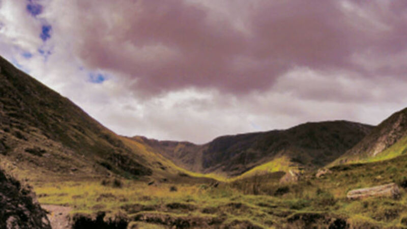
WE immediately see The Kerry Way signed on the right, but pass the stile (we will emerge here at the end of the walk) and continue down the quiet Rossdohan byroad. After 0.5km, we reach the attractive view of Kenmare Bay (aka Kenmare River), the blue sea, perhaps with swans, and the Caha Mountains rising majestically on the Beara Peninsula on the other shore.
Tooth Mountain and Lackabane would be the highest scalps in view, both approximately 600m, with the occasional white-painted house sprinkled like sugar cubes on the hills that rise up from the sea. On clear days, Hungry Hill on the Cork-Kerry borders, the highest peak of the Cahas, 685m, may be in view.


