Revealed: Images show long-lasting damage from Dingle gorse fires
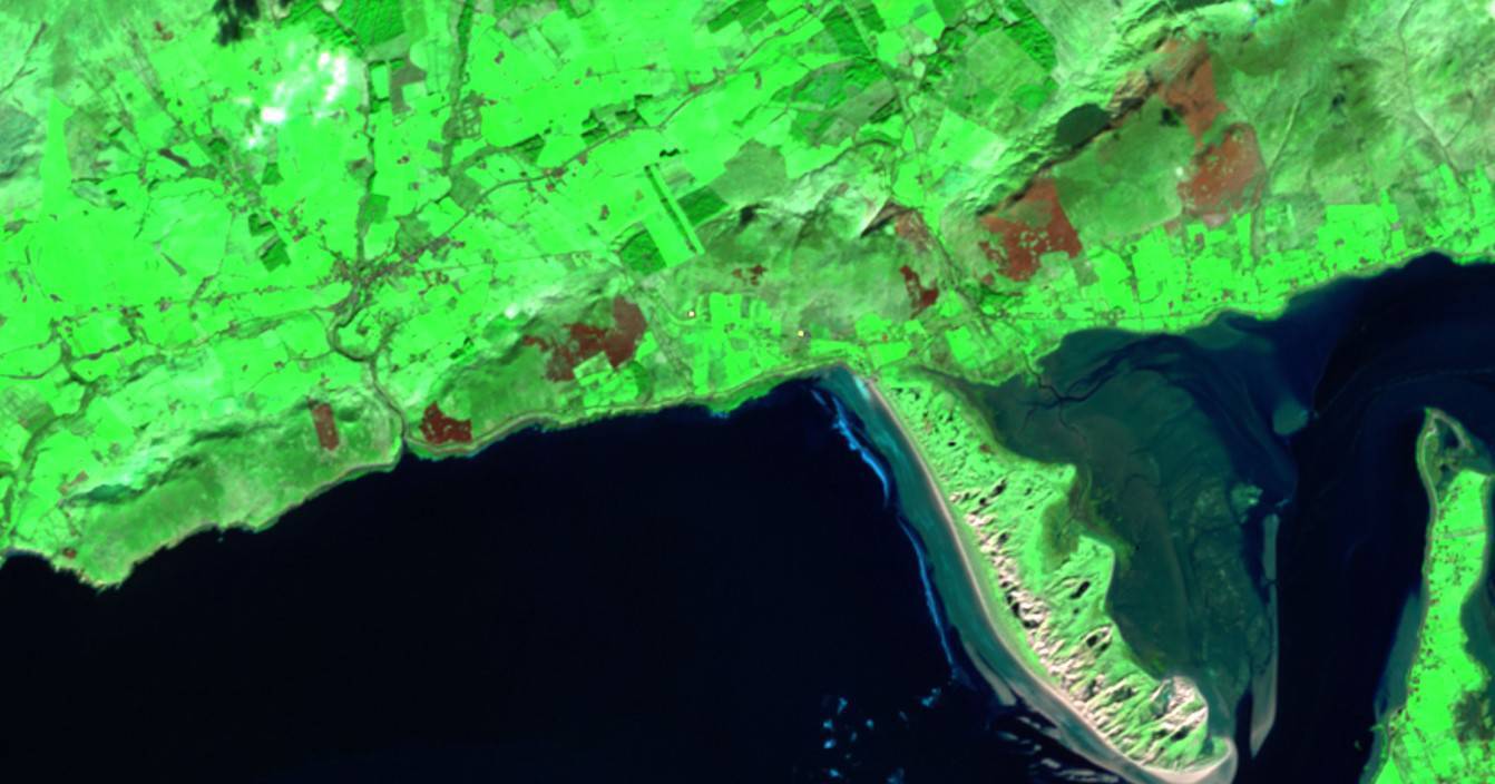
Images of scarred land near Inch beach in Kerry show the damage caused weeks after a gorse fire in January.
Stark imagery of the damage left behind by gorse fires can be seen in the aftermath of a blaze in the Dingle Peninsula, with scarring of the land remaining for weeks afterwards.
Imagery supplied by the Fire, Land and Atmospheric Remote Sensing of Emissions (Flares) project at University College Cork (UCC) show red scarring of the land near Inch beach as it looks from space.
The red scarring in the vast swathes of green on one of Kerry's most beloved locations were from a fire in January.
March 1 saw the ending of the legal land burning period in Ireland until August 31 under the Wildlife Act, but the previous months saw emergency services around the country put under strain as they tackled blazes.
Gorse fires in February placed huge demands on Kerry emergency services, with crews from eight of the 10 Kerry fire stations involved in fighting 28 fires across the county, from Valentia to Killarney, in a single day on February 10.
Despite the March ban, Wicklow Fire Service posted video of a raging blaze on Scar Mountain above Lough Dan last weekend, while Laois fire crews from Mountrath, Portlaoise, Mountmellick and Rathdowney spent a chunk of Sunday dealing with a large fire on Conlawn Hill near Ballyfin.
Dr Fiona Cawkwell of Flares, an Environmental Protection Agency-funded project which collects and examines data on agricultural and uncontrolled wildland burning using satellites, said part of the research was examining how long-lasting the damage was in the aftermath of a fire in the local ecosystem.
"It obviously depends when in the growing season that the fire takes place. There would be more rapid regrowth in the April-May-June period, whereas the fire that took place in December or January, that burn scar would be evident for longer. There are lots of variables."
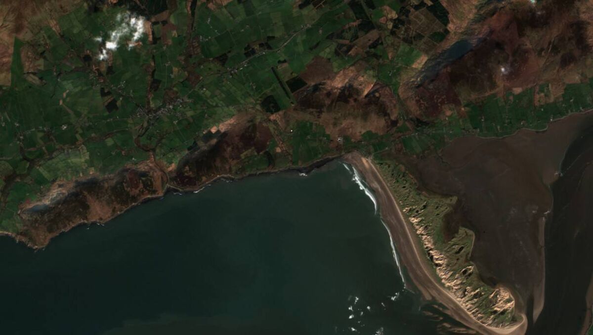
Even short periods of scarring are enough to displace ecosystems, and the homes of flora and fauna, Dr Cawkwell said.
"It may not be irretrievably, but certainly depending on when in the season that the burn happens, there could certainly be a lasting impact. That is the reason why, for example, prescribed burns are not allowed after March 1, because that is the breeding season of birds and insects and so on.
Flares uses satellite imagery to detect fires and examine the lasting impacts, such as emissions and regrowth.
Dr Cawkwell said: "What we are finding is that fires are evident from the satellite imagery, we are detecting them on a spatial scale that has not previously been done using satellite data. We're able to get a lot more detail in terms of the area affected."
CONNECT WITH US TODAY



Be the first to know the latest news and updates