2023 was Ireland's wettest and warmest year on record, says Met Éireann
2023 was Ireland's wettest and warmest year on record, says Met Éireann

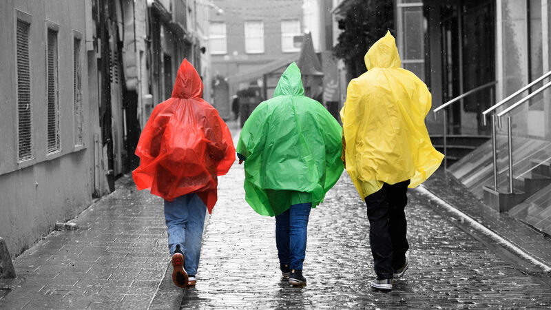
Last year topped records for the wettest March and wettest July in the country, with 185% and 201% of the 1991-2020 Long-Term Average (LTA) rainfall observed. LTA is obtained by values being averaged for each month over the 30-year period. File picture: Dan Linehan

Ireland is becoming increasingly wetter, with 2023 the wettest year on record, Met Éireann said.

It means that last year was the wettest and warmest year on record in Ireland. Records for the wettest year go back to 1941 while the heat record goes back to 1900.

Last year topped records for the wettest March and wettest July in the country, with 185% and 201% of the 1991-2020 Long-Term Average (LTA) rainfall observed. LTA is obtained by values being averaged for each month over the 30-year period.

Throughout 2023, five months recorded rainfall levels which were over 135% of their LTA, predominantly during the latter half of the year.

Last year saw numerous flooding events as a result of the heavy rainfall, namely Storm Betty in August and Storm Babet in October.

The data means that 2009 is now the second wettest year on record, with 1506.1mm gridded average rainfall recorded, in comparison to the 1510.9mm gridded average rainfall that fell in 2023.

1971 remains the driest year on record, with 911.8mm gridded average rainfall recorded in total.

Met Éireann said the provisional analysis carried out at the end of 2023, used mostly near real-time rainfall observations.

Climatologist at Met Éireann, Paul Moore said the data comes as a comparison of rainfall averages across two 30-year periods concluded that the average rainfall in Ireland has increased by 7% and the average temperature has increased by 0.7C.

Mr Moore said the “climate change footprint” is evident from this study and is the reason why Ireland is becoming increasingly wetter.

He said that as the atmosphere warms, it can hold more moisture. This means that when there are rainfall events like ones that were seen in much of 2023, "more rain will fall from a similar system than it would in the past."

Although July was the wettest month on record in 2023, that won't necessarily be the case in future years.

"What the projections are showing is it will continue to get wetter as temperatures increase, especially in autumn and winter.” A recent study completed by the World Weather Attribution, in collaboration with Met Éireann, compared the rainfall between October 2023 and March 2024, the country’s storm season.

Extreme weather events such as Storm Babet will become increasingly common, he said.

Mr Moore said the "intensity of rain" seen during the likes of Storm Babet used to "a one in 50-year event" but it is now "a one in five year event".

Maynooth University Professor in Physical Geography Peter Thorne echoed the comments, saying extreme weather events such as Storm Babet will become “increasingly severe” due to climate change.

Commenting on weather patterns, Mr Thorne said it is difficult to predict what the future weather will look like, but it is clear that the wet years will become increasingly wetter and conversely, the dry years will become even drier.

Climate change is on track to “play havoc” with our weather systems, and make every weather event more extreme, he said.

Although too early to confirm, he said the country has experienced “well-above average” rainfall in February, March and April, making 2024 slightly wetter than last year as of now.

This week's weather

The data comes as July of this year got off to a miserable start with a number of rainfall warnings having been issued for counties in Munster and Leinster.  While sunny spells will begin to appear heading into the weekend, the recent rainfall will not be too far away.

Thursday will be cloudy with a few patches of drizzle before "some limited bright or sunny intervals will break through in the afternoon".

Met Éireann is forecasting a few "well scattered showers, mainly over the southern half of the country at first" but the sunny spells look likely to extend elsewhere in the evening.

Friday will see "a mix of bright or sunny periods" along with a few scattered "mostly light" showers.

"The showers will be isolated at first but will become a little more frequent during the afternoon. Highest temperatures will generally range between 16C and 18C or 19C," Met Éireann said. 

Saturday will be "another day with a mix of cloud and a scattering of showers, but some bright or sunny spells will develop through the day". Temperatures will, however, reach highs of 20C in some parts.

Again, Sunday is likely to see a mix of sunny spells and showers.

x

Check out the Irish Examiner's WEATHER CENTRE for regularly updated short and long range forecasts wherever you are.

More in this section

Lunchtime News

Newsletter

Keep up with stories of the day with our lunchtime news wrap and important breaking news alerts.

Cookie Policy Privacy Policy Brand Safety FAQ Help Contact Us Terms and Conditions

© Examiner Echo Group Limited