Met Éireann issues weather warnings as Storm Antoni crosses Ireland towards UK
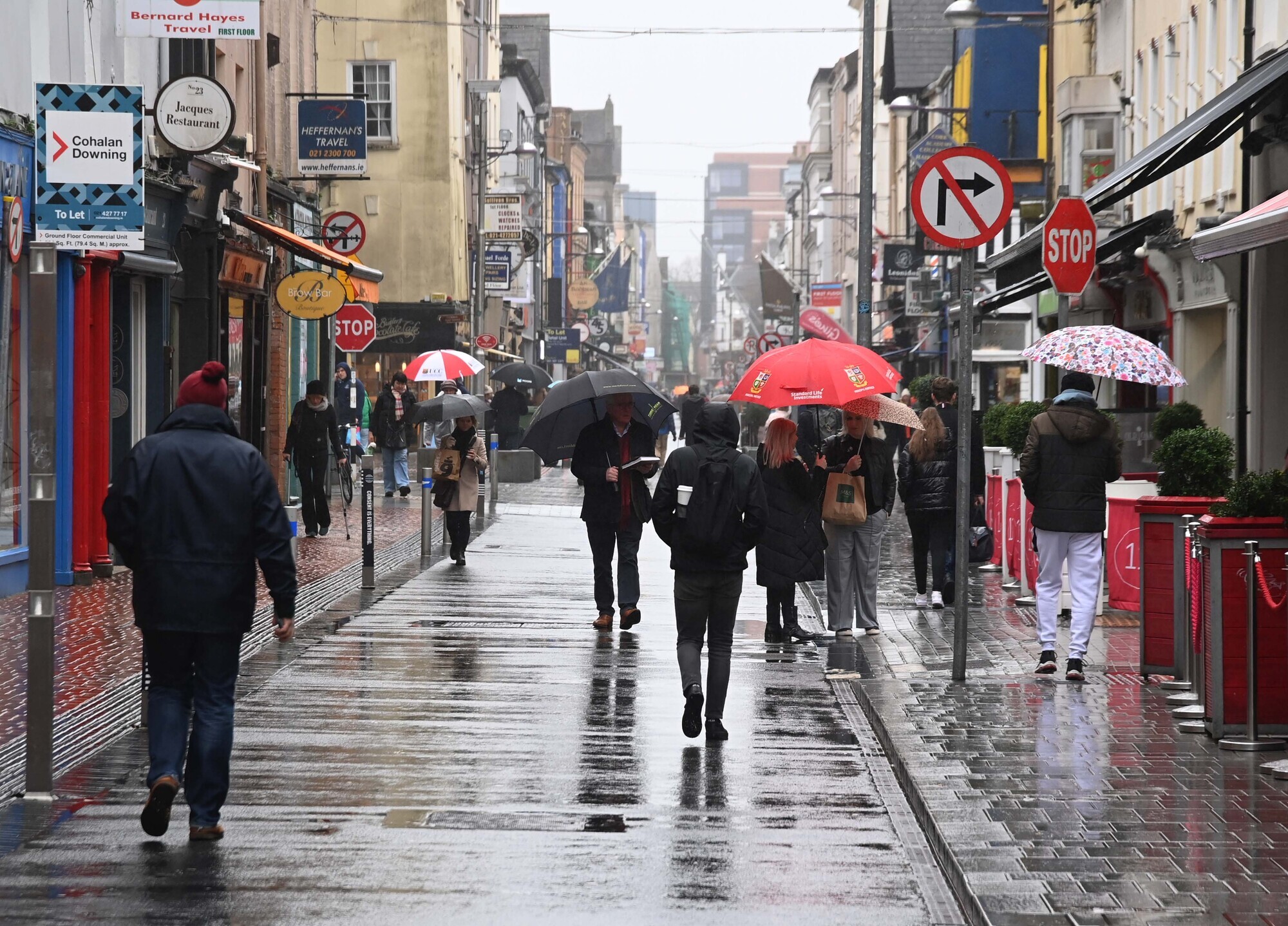
The UK Met Office named the storm that will hit Britain this weekend as a number of Met Éireann weather warnings are in place. Picture: Denis Minihane.
Met Éireann is urging festival goers to take "extra care" over the weekend as Storm Antoni crosses Ireland and heads towards Britain.
The UK Met Office named the storm that will hit Britain this weekend as a number of Met Éireann weather warnings are in place.
Met Éireann has issued two status yellow rain warnings for the middle of the country with spot flooding, poor visibility and difficult travelling conditions expected.
The first warning, for Connacht, Clare and Tipperary, will be in place from 8pm on Friday until 8am on Saturday.
The second warning, for Leinster, Monaghan and Cavan, will be in place from 11pm on Friday until 10am on Saturday.
Elsewhere, there will be a yellow wind warning in place for Cork, Kerry, Waterford and Wexford on Saturday from 4am until midday.
Met Éireann's Aoife Kealy said: "What's going to happen today and overnight is that a low pressure system is going to cross the country and then it is going to cross the UK.
"That is why Met Éireann has those warnings out, the storm is going to bring heavy rains and some unseasonable winds to us.
"It will kind of develop a little bit more as it tracks eastwards, which means that [the UK] will see some slightly stronger winds and a little more rainfall."
Ms Kealy says this is why the UK Met Office has decided to name it Storm Antoni.
The storm is not expected to have the same impact on Ireland as it will on the UK.
"Tomorrow morning, overnight tonight it is going to be just really particularly wet and still quite windy in some southern and southwestern areas, but it will improve as the day goes on. Whereas it's going to be pretty much a wet and windy day in the UK all of tomorrow," she said.
With Indiependence and All Together Now on this weekend, Ms Kealy is advising festival goers make sure that everything is secure if they are in tented accommodation and to also take an extra bit of care "if you are out and about."
Met Éireann has said the rest of the bank holiday weekend will be "rather mixed".
On Saturday afternoon, brighter and drier conditions with scattered showers in the west will gradually extend to all parts, however, Saturday night will be dry in many areas.
There will be clear spells "with showers becoming increasingly confined to Atlantic coastal counties".
Sunday "will be a bright day with a mix of sunshine and showers". Met Éireann has said that showers will be heaviest and most frequent in the north and east with temperatures reaching highs of 20C.
Bank Holiday Monday will be "mostly cloudy with outbreaks of rain in the west and southwest spreading to all areas through the afternoon and evening".
The rain will be heavy in places, with the potential for spot flooding, according to Met Éireann.
There will be further outbreaks of rain and drizzle on Monday night, becoming lighter and patchier as the night goes on.


Check out the Irish Examiner's WEATHER CENTRE for regularly updated short and long range forecasts wherever you are.
CONNECT WITH US TODAY



Be the first to know the latest news and updates