Weather warning in place as country braces for 'bitterly cold' Siberian weather blast
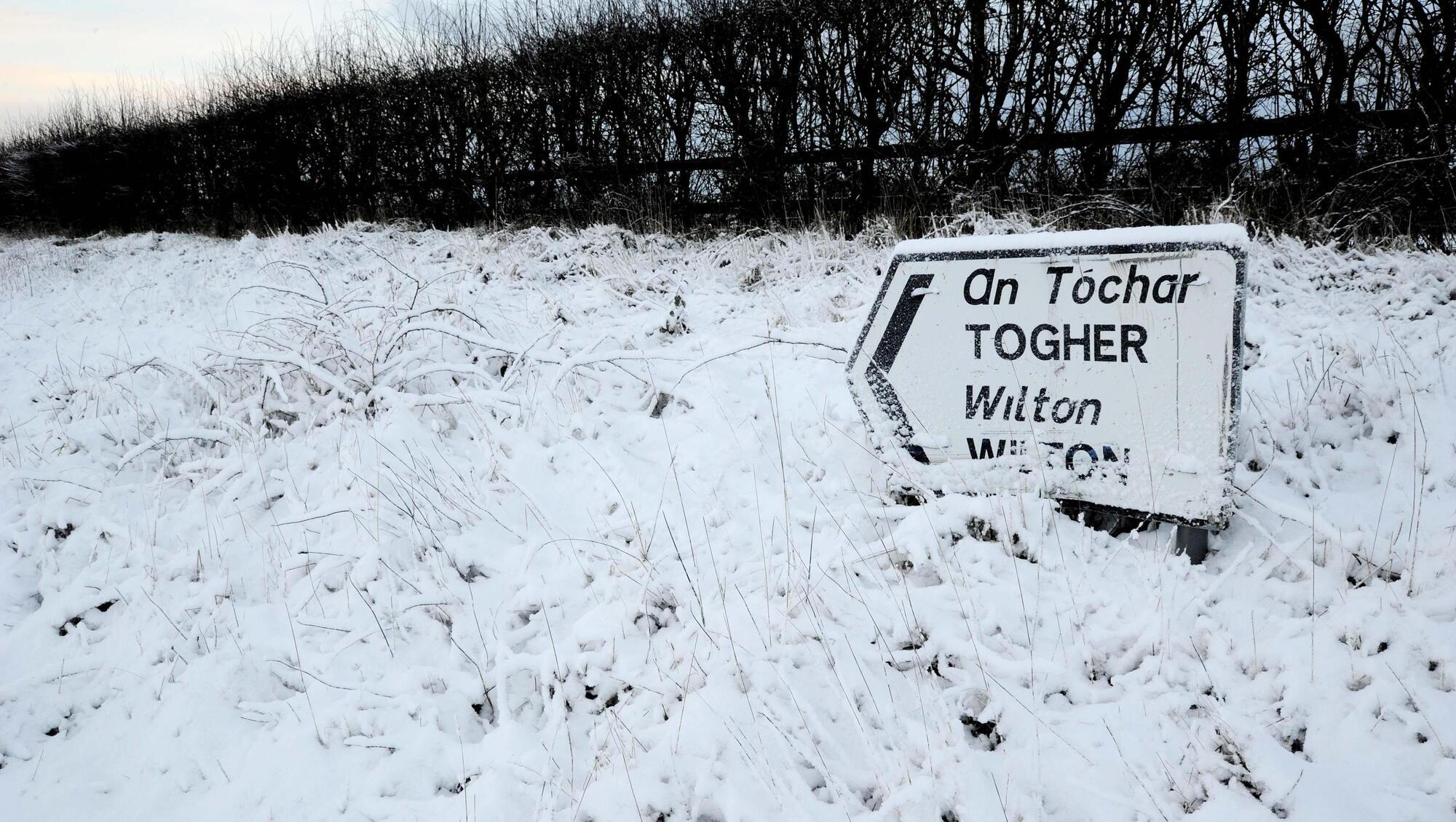
Snow in the Liberty Hill area near Cork in 2018. File picture: Denis Minihane.
Met Éireann has issued its first weather warning as Ireland braces for a bitterly cold week from today onwards, with snow forecast across the country in what is expected to be a replay of 2018’s infamous 'Beast from the East' snowstorm.
Effective from 6pm this evening until 6pm tomorrow, counties across the east of the country and the border including, Dublin, Kildare, Louth, Wicklow, Meath, and Monaghan, have been issued a status yellow snow and ice warning.
After a "bitterly cold” Monday, according to Met Éireann, the country is preparing for the challenging conditions that come hand-in-hand with extremes of freezing temperatures.
Temperatures remained in the low single figures all day today, with some wintry showers in the east of the country.
From tonight onwards, meanwhile, showers of sleet and snow in the east will become more frequent and will begin to push inland across the country overnight.
Accumulations of 2-5cm of snow are expected.
A national low-temperature weather advisory alert is also currently in effect and will last until at least 6pm on Wednesday, with sharp or severe frosts and icy patches expected at night.
Road and pathway conditions will be hazardous, Met Éireann said.

The chilly conditions are being compared to 2018’s Storm Emma, as their occurrence has resulted from similar weather phenomena interacting with each other — in this case, a cold front from Siberia colliding with a low-pressure system, resulting in a ‘stalled’ weather front and heavy snow.
The worst of the weather is expected between Wednesday and Friday.
Met Éireann said late on Sunday that, per current projections, Thursday will see rain, sleet, and snow move northeastwards across the country, starting in the southwest.
“Although it’s unlikely at present to be as severe as in 2018.”
Mr Nolan said that a fall of ‘lake-effect snow’, that resulting from cold air passing over a much warmer body of water, can be expected from early Tuesday.
That snowfall could be as much as 10cm in depth, he said. However, the far more disruptive snow over a wider part of the country will not be seen until Thursday.
Given the weeks of disruption caused just two years ago, authorities have taken the unusual step of warning the public many days in advance.
Nevertheless, the State forecaster has conceded that “some uncertainty” regarding the “exact details” of how Thursday and Friday will play out remain.
Snowy conditions first made landfall across east and southeast England early on Sunday morning.
Local authorities across Ireland have been liaising with the National Directorate for Fire and Emergency Management with a view to preparing for the coming storm, while the Road Safety Authority has urged motorists to exercise extreme caution during the coming conditions.
Irish Water and local authorities have urged homes and businesses to check for leaks and to conserve water where possible ahead of the event.

CONNECT WITH US TODAY



Be the first to know the latest news and updates