Mapping of our seabed reveals canyons and shipwrecks
Ireland’s territorial waters are set to be completely mapped by 2026.
Since mapping began in 1996 with the Infomar project, scientists have found chasms twice as deep as the Grand Canyon in our 880,000km of territorial water, which is 10 times the size of our land mass.
In a new RTÉ series, marine geologist Charise McKeon reveals that remarkable 3D images are now available of some of the estimated 18,000 shipwrecks located off our coastline.
10 Things To Know About |@rteone | New Series | Starts Monday November 12th 8.30pm pic.twitter.com/8clH54bbxs
— RTÉ (@rte) November 11, 2018
“We’ve over 360 shipwrecks in the Infomar database,” she said. “We have a lot of the wrecks which pertain to the World Wars.
“The most infamous one, 22km off Kinsale, was the RMS Lusitania that went down in May 1915, torpedoed; over 1,100 people lost their lives.
“There is the human connection the shipwreck brings. Every shipwreck, be it known or not known, has a story.”
The wrecks are often underwater graveyards and any wrecks over 100 years old have a heritage order placed on them to prevent people from disturbing or damaging them.
Mapping them helps to protect the heritage sites.
Maria Judge from Geological Survey Ireland (GSI) said scientists are able to map vast abysses miles below the surface in Irish waters using sonar equipment.
“We use a whole fleet of marine vessels,” said the marine geoscientist.
“We have a hull-mounted directly underneath the vessel with multi-beam echo sonars who send sound down the seabed.
“That builds a very smooth, three-dimensional images of the seabed.
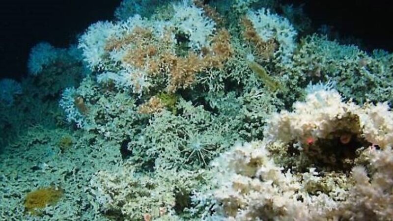
“Another aspect of the mapping of our seabed is we get to see extraordinary features; it’s not just deep, dark, wet, and flat down there.
“There are incredible canyons along with sediments that flow and create these large landslides and big sediment lobes at the bottom of a very deep ocean.”
“We began mapping the late ’90s and we’re still mapping now. It does take an extraordinary amount of time.
“The Infomar project is projected to run until 2026 so we’re hoping to have most if not all of Ireland’s marine territory fully mapped to high resolution by then. Some of Ireland’s ocean territory goes into vast chasms more than twice as deep as the Grand Canyon after the continental shelf.
“At that point, we’re reaching depth of over 4km deep. That is pretty much as high as the tallest Alpine mountain.”
GSI has already mapped our deepest waters at the outer edges of our territory along with treacherous coastal bays and commercially important inshore areas.
The final phase is now underway to map environmentally significant areas to complete the mapping of the nation’s ocean floors.