Councillors express dismay at OPW Cork flooding map
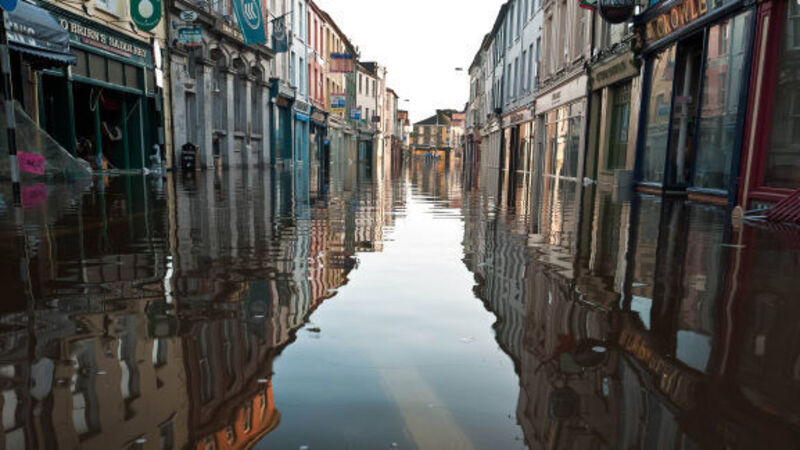
The Office of Public Works’ mapping of potential flooding in Cork county is seriously inaccurate in a number of locations, it has been claimed, forecasting “Noah’s Ark” extremes and paving the way for insurance companies to hike up cover or refuse it altogether.

Councillors express dismay at OPW Cork flooding map

An elevated area in a West Cork gateway village has been designated a flood risk area — despite the hill road overlooking roof tops.

One of the more extreme examples of OPW mapping came from Cllr James O’Donovan. He said the OPW had deemed the flood risk to be so high in Innishannon, it had included an area “halfway up Church Hill”.

Already a subscriber? Sign in

You have reached your article limit.

Unlimited access. Half the price.

Annual €120 €60

Best value

Monthly €10€5 / month

More in this section

Lunchtime News

Newsletter

Keep up with stories of the day with our lunchtime news wrap and important breaking news alerts.

Cookie Policy Privacy Policy Brand Safety FAQ Help Contact Us Terms and Conditions

© Examiner Echo Group Limited