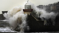
3D laser scans Cliffs of Moher
The project, which could only be undertaken from the sea, required specialised equipment to scan the cliffs on a moving platform while a boat alongside, captured data accurately.
Irish surveying firm Coastway carried out the exercise completing a laser scan, 3D model, and high definition video of a 2km section of 8km-long cliffs which are 214m (702ft) high at their highest point


