Satellite images reveal devastating impact of wildfires

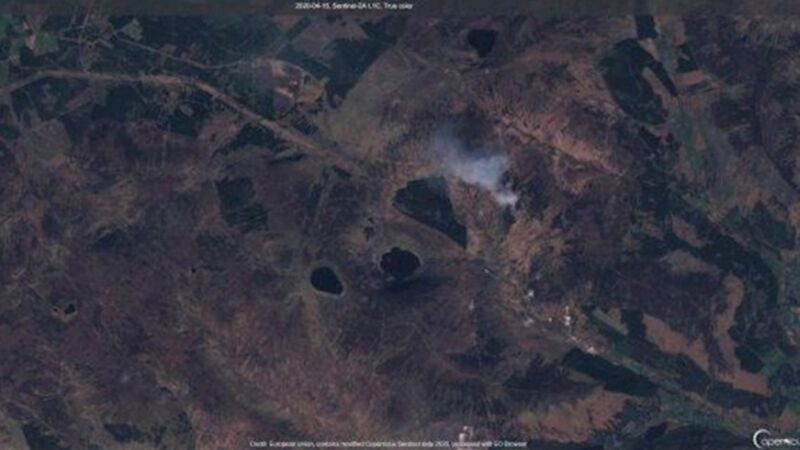
Satellite images taken by the European Space Agency have revealed the devastating impact of recent wildfires in Wicklow.
Culture, Heritage, and Gaeltacht Minister Josepha Madigan said the images convey graphically the scale of destruction, devastation, and loss of plant and animal life wrought by illegal wildfires. National Parks and Wildlife Service (NPWS) staff in Wicklow, with helicopter support, worked with the Fire Service in battling several separate outbreaks. There have been five significant fires in the region since Good Friday.


